Promoud


Edited by:
Massimo Martini
Updated at: 04/07/2026
Access
Navigazione stradale
Lasciare l'autostrada al casello di Aosta Ovest e immettersi sulla strada regionale in direzione di Sarre, percorrendola per 950m (0,95km) fino all'innesto con la strada statale . Immettersi sulla e proseguire per 18,4km (19,35km), attraversando e costeggiando gli abitati di Saint-Pierre, Villeneuve, Arvier, Avise e Derby, fino a una rotatoria all'ingresso di La Salle. Alla rotatoria, prendere la seconda uscita e proseguire per 170m (19,52km). Proseguire dritto per 850m (20,37km), quindi svoltare a sinistra e percorrere 500m (20,87km). Svoltare leggermente a destra e percorrere gli ultimi 97m (20,97km) fino al parcheggio in località Pré Maudil, lungo la strada sterrata per Chabodey.
Parcheggio
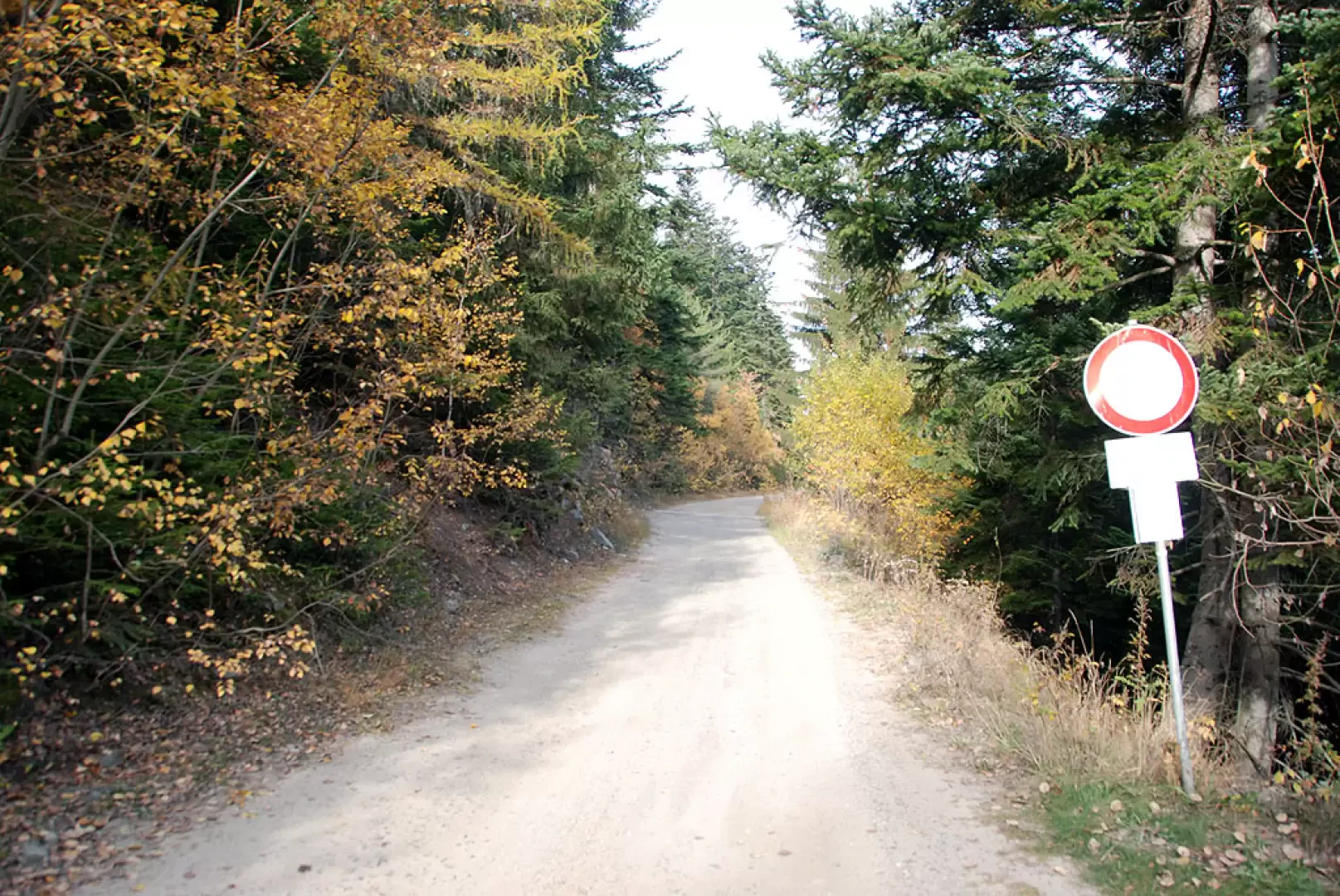
In località Pré Maudil, lungo la strada sterrata che conduce a Chabodey, si trova un parcheggio 🅿️ gratuito con pochi posti disponibili sul lato della carreggiata, punto di partenza dell'itinerario.
Accesso con mezzi pubblici
Per raggiungere il punto di partenza dell'itinerario è necessario un mezzo privato, poiché Pré Maudil non è servita da trasporti pubblici.
Distanza e tempo di percorrenza
🕒 Tempo di percorrenza: 25 minuti
📏 Distanza: 21,0km
Navigazione GPS
Nota informativa
Le indicazioni fornite sono state verificate alla data del rilievo dell'itinerario. Prima della partenza si consiglia di verificare possibili variazioni del percorso o delle condizioni stradali. Per informazioni aggiornate si raccomanda di consultare Google Maps o Apple Maps.
Introduction
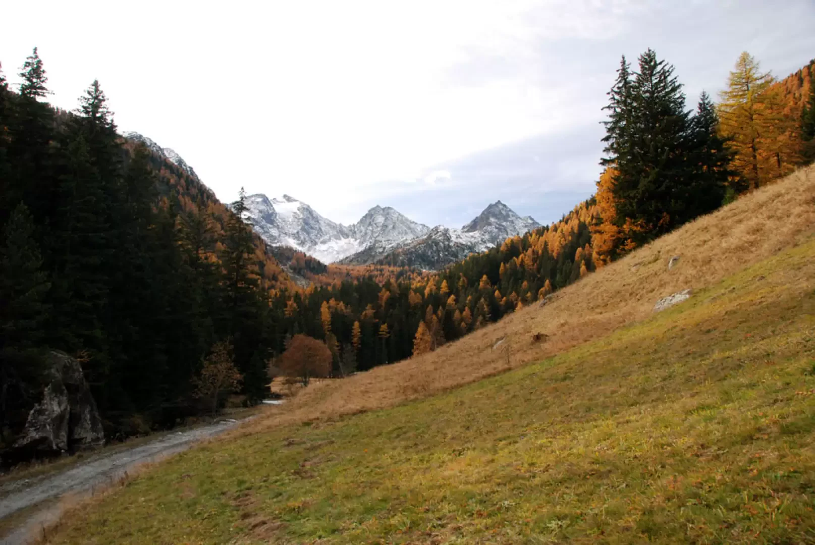
A pleasant walk in the Vallon d'En Haut. After an initial ascent of around 500m, the route reaches Lazey and enters the valley.
Description
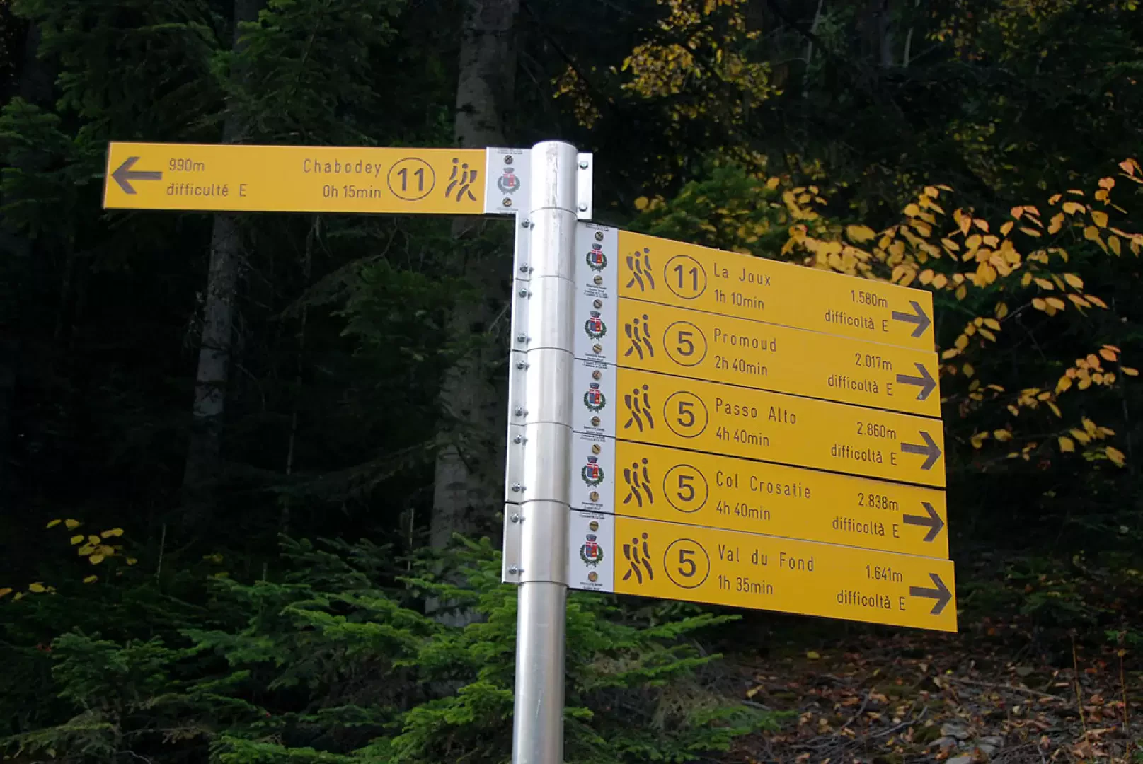
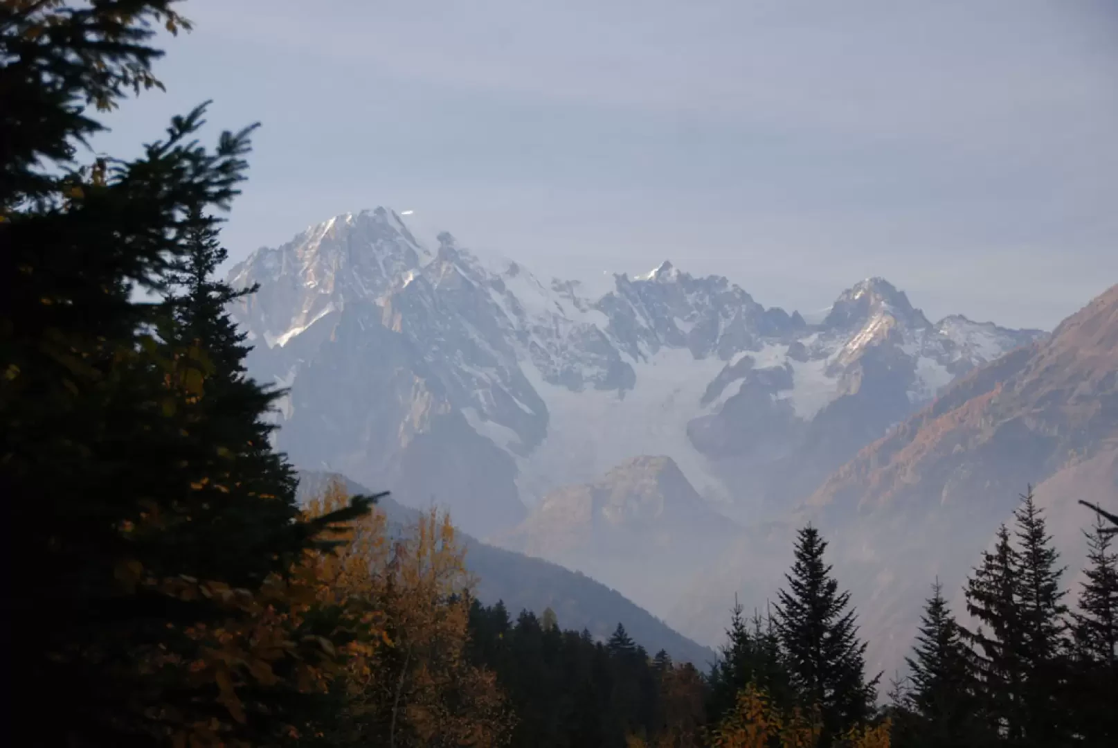
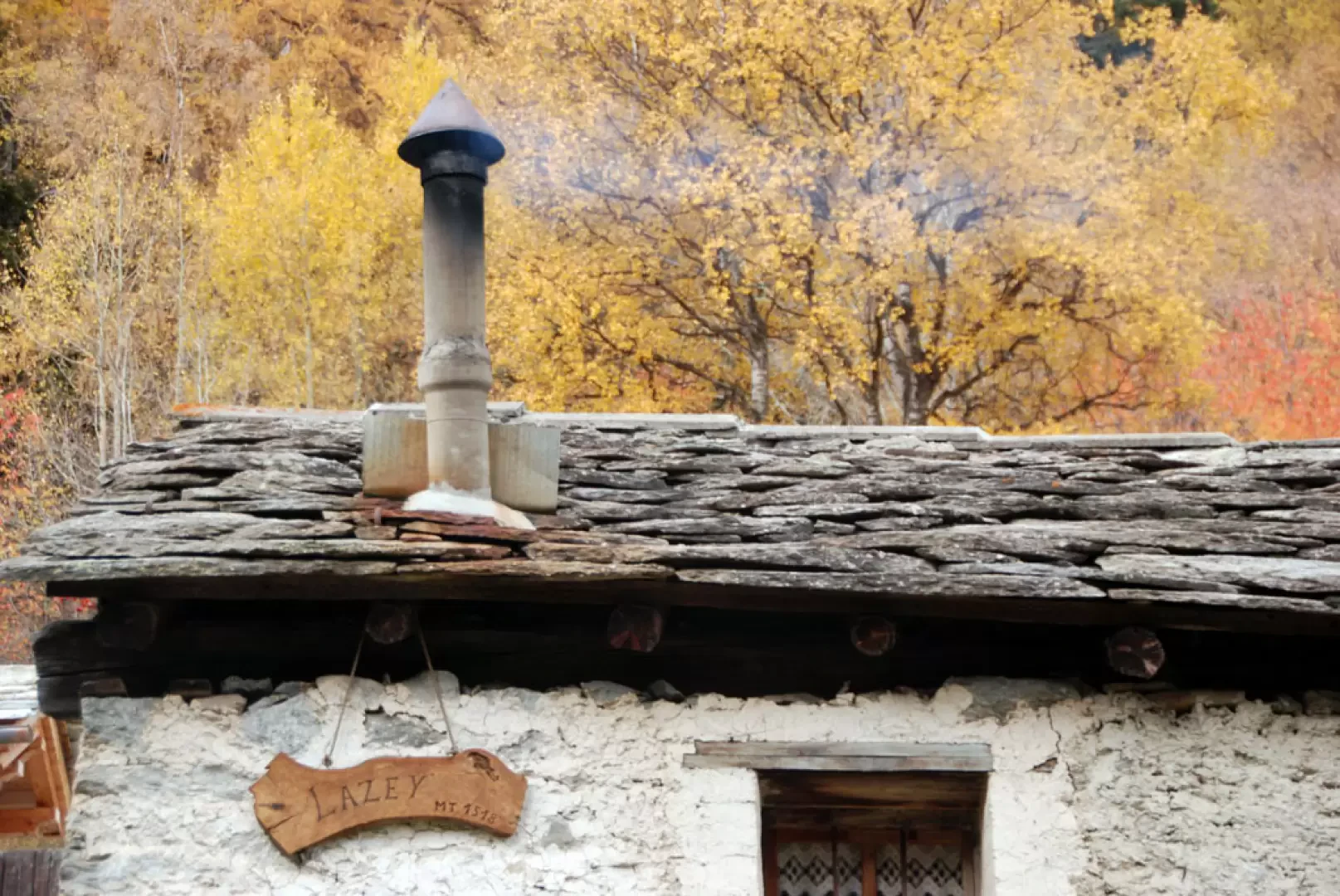
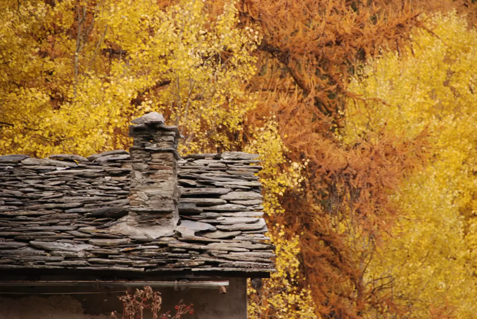
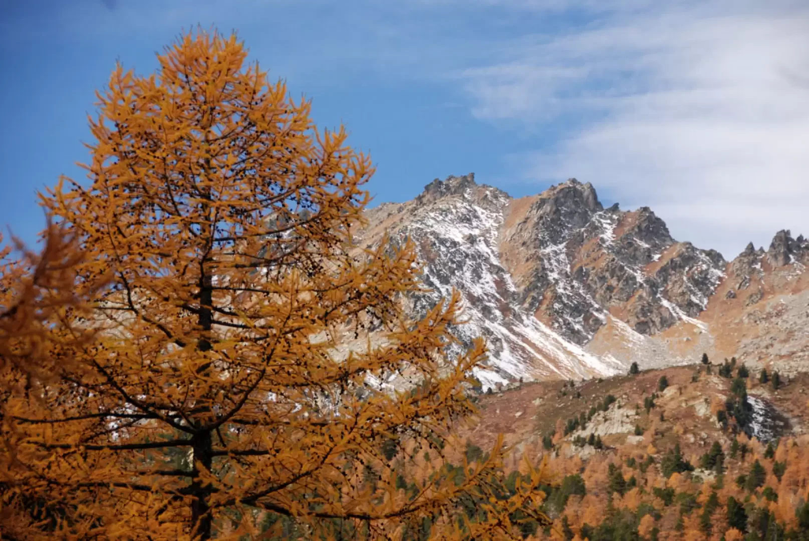
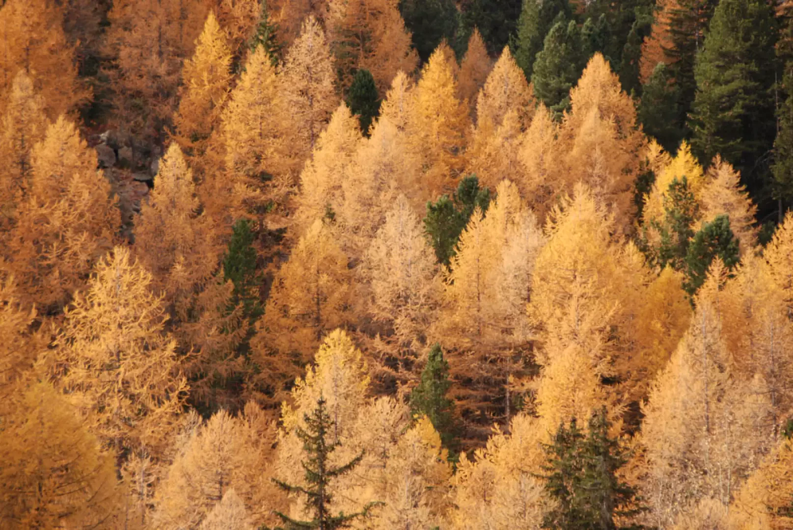
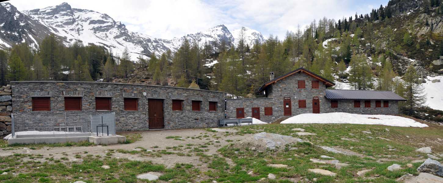
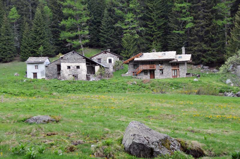
Leaving your car at the no-trespassing sign, proceed for about a hundred metres on the farm track, ignoring the track that descends to the right. When you reach a signpost, turn left and start climbing up the wide path. The first part of the ascent is quite demanding, but this allows you to penetrate into the splendid fir forest and gain altitude; every now and then, a few glimpses open up among the fir trees and you are able to appreciate excellent views of the not too distant Mont Blanc. After a while, the slope slows down and the path turns left, climbing diagonally up the forest. With a series of twists and turns, you gain a few dozen metres in altitude until you reach a beautiful birch belt that precedes the pastureland: you soon reach the farm road again (which can be followed in its entirety with less gradient and greater length) and then Lazey (1521m, 1h00').
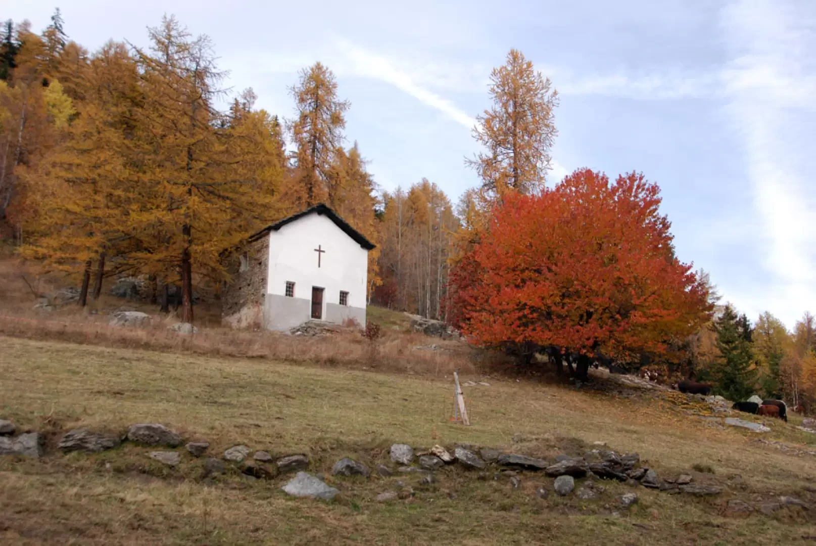
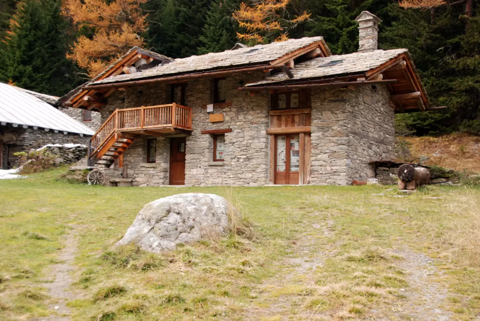
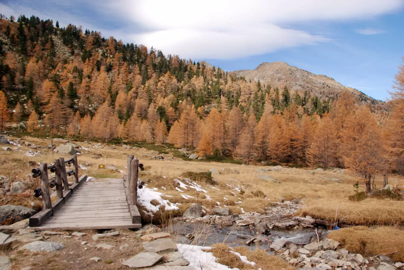
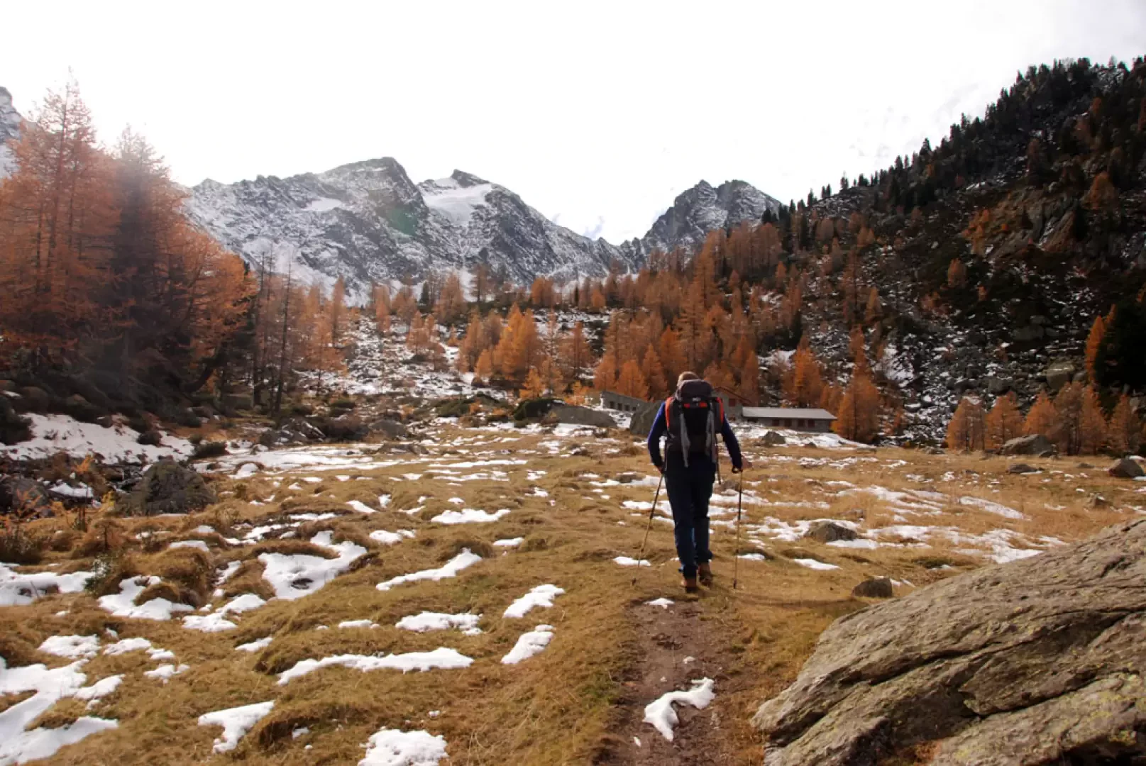
Continue along the track that leads to the Lazey mountain pasture, leaving the small chapel dedicated to Luigi Gonzaga on the right. Pass the alpine pasture and, at the first hairpin bend, climb up a grassy track that leads into the forest. Climb a short but steep slope until you reach a clearing near a farmhouse and, shortly afterwards, the farm track again. Turn left and follow the track until you come to a fork near a small bridge: turn left, crossing the Lantaney stream and continue for a good, practically flat stretch until you come to a new signpost: ignore the turnoff to the left for Lake Tillac and continue on the track practically to the end near Montagne Alta, where there is a dortoir.
Leaving the track and following the signposts, take the path that enters the larch grove; with a few twists and turns, you pass a step in the valley, the result of ancient glacial activity. The ascent gradually descends until reaching an almost level stretch where a particular votive shrine set into the rock is encountered. A few metres and you come out of the wood, reaching the junction with Alta Via 2: turn right and cross the stream again on a wooden footbridge. The destination is now visible, and you briefly climb up the pasture until you reach the Promoud Bivouac (2058m, 2h45'), a beautiful structure incorporated into the mountain pasture of the same name.
The return journey is along the same route as the outward journey (1h45').
Photo gallery
We have been there

Edited by:
Giancarlo Beretta
Bivacco Promoud
Salita solitaria nonostante fosse domenica. Partiti dal cartello di divieto di transito e non da Chabodey, sentiero in buone condizioni senza più neve. Abbiamo proseguito sino alla torbiera soprastante per vedere meglio la conca del Paramont con la sua parete nord su cui abbiamo visto due "firme" di sciatori che l'hanno discesa passando dal canalino centrale! Il bivacco era in ordine ma abbiamo notato che i pannelli fotovoltaici sul tetto erano rotti. In compagnia di Stefania. Avvistamenti faunistici: Sciurus vulgaris


Edited by:
Giancarlo Beretta
Bivacco Promoud
Salita solitaria nonostante fosse domenica. Partiti dal cartello di divieto di transito e non da Chabodey, sentiero in buone condizioni senza più neve. Abbiamo proseguito sino alla torbiera soprastante per vedere meglio la conca del Paramont con la sua parete nord su cui abbiamo visto due "firme" di sciatori che l'hanno discesa passando dal canalino centrale! Il bivacco era in ordine ma abbiamo notato che i pannelli fotovoltaici sul tetto erano rotti. In compagnia di Stefania. Avvistamenti faunistici: Sciurus vulgarisSalita solitaria nonostante fosse domenica. Partiti dal cartello di divieto di transito e non da Chabodey, sentiero in buone condizioni senza più neve. Abbiamo proseguito sino alla torbiera soprastante per vedere meglio la conca del Paramont con la sua parete nord su cui abbiamo visto due "firme" di sciatori che l'hanno discesa passando dal canalino centrale! Il bivacco era in ordine ma abbiamo notato che i pannelli fotovoltaici sul tetto erano rotti. In compagnia di Stefania. Avvistamenti faunistici: Sciurus vulgaris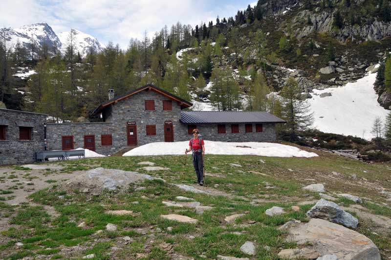


Comments (0)
Sign in to leave a comment