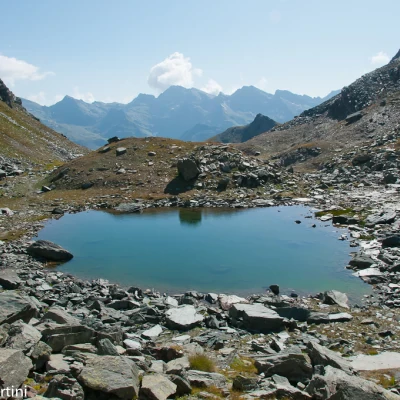
Rothorn Pass, from Staffal

Access
Lasciare l'autostrada al casello di Pont-Saint-Martin. Dopo circa 100 metri, svoltare a destra, superare un semaforo e proseguire per circa 600 metri fino al bivio per Gressoney. Entrare nell’abitato di Pont-Saint-Martin e, dopo 1,2 chilometri, svoltare a destra imboccando la strada regionale in direzione della Valle di Gressoney.
Seguire la risalendo l’intera valle per circa 38,4 chilometri, attraversando gli abitati di Lillianes, Fontainemore, Issime, Gaby, Gressoney-Saint-Jean e Gressoney-La-Trinité. Superato quest’ultimo paese, proseguire ancora per pochi minuti fino a raggiungere Staffal e Tschaval. Di fronte alle funivie del Gabiet si trova un ampio parcheggio 🅿️ dove è possibile lasciare comodamente l’auto.
Il luogo è servito dai mezzi pubblici. Per consultare gli orari, visita il sito aosta.arriva.it
Distanza e tempo di percorrenza
🕒 Tempo di percorrenza: 52 minuti
📏 Distanza: 38,4 km
Navigazione GPS
📍 Come arrivare con Google Maps
📍 Come arrivare con Apple Maps
ℹ️ Nota importante
Le indicazioni fornite sono state verificate alla data del rilievo dell’itinerario. Prima della partenza, è consigliabile verificare eventuali variazioni del percorso. Per ottenere indicazioni aggiornate e dettagliate, si consiglia l’uso di Google Maps o Apple Maps.
Introduction
A pleasant, panoramic hike on the left-hand side of the upper Lys valley. The ascent to the Rothorn Pass is divided into two distinct parts: the first is fairly tedious and takes place on a dirt track as far as Sitte, while the second is on a beautiful path up the Saler valley among pleasant streams, beautiful views of the Rosa massif and the splendid little lakes before the pass. In just under three hours, therefore, you can make a beautiful hike with many highlights: not to be missed!
Description
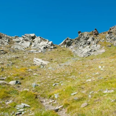
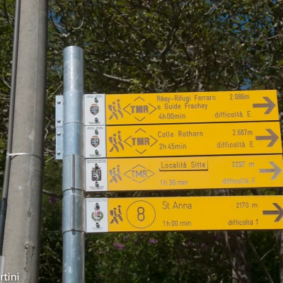
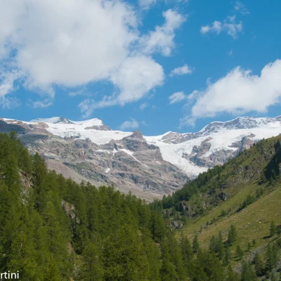
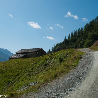
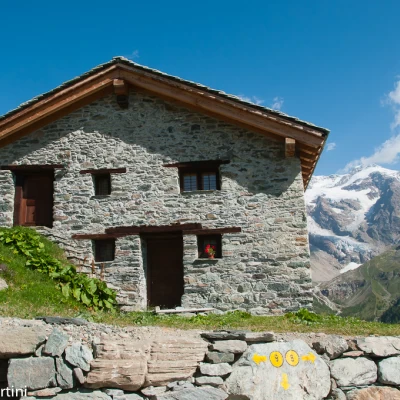
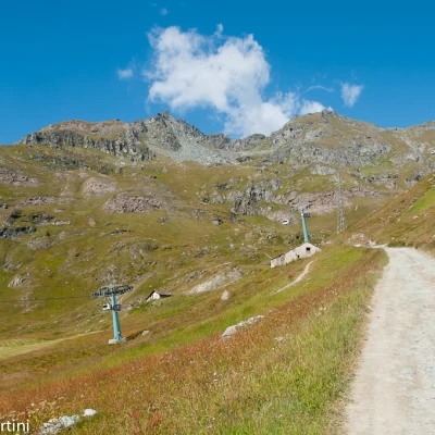
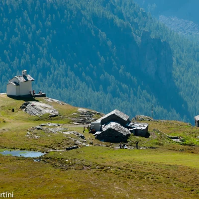
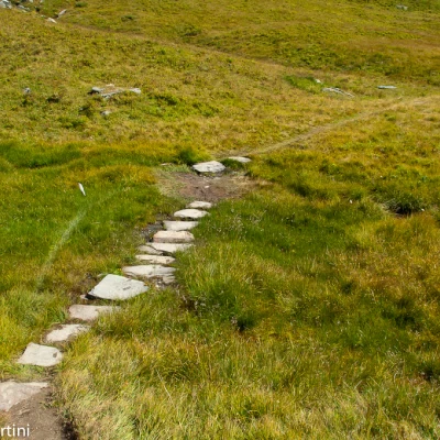
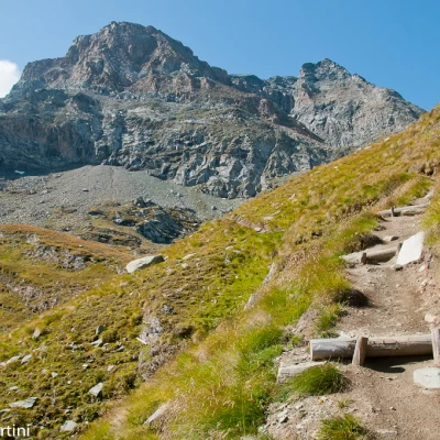
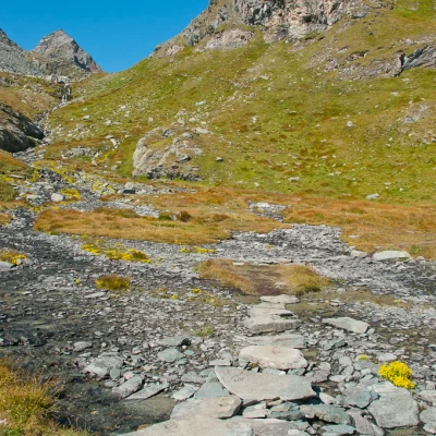
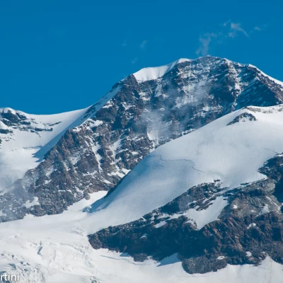
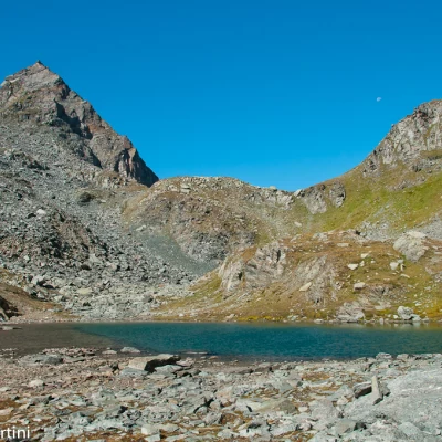
From the Stafal car park, climb briefly up the small tarmac road until you reach a signpost near a fountain: go straight on following the signs for our destination, climbing briefly up a small road that leads to a residence where you turn left onto a dirt track. Having skirted the chapel dedicated to the Madonna delle Nevi, the track begins to climb up the slope, immersing itself in the larch woodland that affords interesting views of Castore, Lyskamm and the glacial mass of the Lys Glacier. The track twists and turns until it leaves the forest near the isolated Trele farmhouse (2031m, 0h35'). The track now loses its slope and heads south, following the sinuosity of the slope until reaching a beautiful renovated farmhouse near the junction for the Sant'Anna Chapel (2181m, 1h00'). Disregard the crossroads and turn right up the track, now with a steeper slope, that passes near two cottages and passes under the cableway to Bettaforca until you come to a marker: turn left and take the path that soon reaches a footbridge and stretches out onto a short, damp plain. Climb up the slope with a comfortable, well-maintained path along the Tour du Mont Rose route; with a beautiful ascending diagonal, you approach the Saler valley with beautiful stepped sections of path in the sight of the north face of the Rothorn. Slowly turn right until you reach a beautiful plateau on which you comfortably wade across the Saler stream (Saleròbach) to its orographic left. A few bends allow you to gain further altitude until you reach the first of the Saler lakes (2,627m, 2h 20'). Keep to the left of the lake and with a short ascent reach the second lake (2633m, 2h25'); from here, the pass is clearly in view: a short, fairly steep climb leads to the Rothorn pass (2687m, 2h45'). The return trip follows the same route as the outward journey (1h35').
.Galleria fotografica
We have been there
Passo del Rothorn, da Staffal
Lasciata l’auto a Stafal nel parcheggio degli impianti di risalita, si prosegue sulla strada fino a giungere al ponte sul Lys, lo si attraversa e si imocca la via alla destra (indicavia per colle Bettaforca). Poco oltre si imocca, seguendo gli indicavia per S. Anna, la strada segnalata con l’indicavia n° 8 e la si segue fino a giungere sul’ampio ripiano ove si trova la stazione di arrivo della funivia che sale da Stafal; qui merita fare una piccola digrezione per arrivare alla cappella di S. Anna, dove si godono bellissimi panorami sia sulla valle di Gressoney sia sul massiccio del monte Rosa. Tornati sui nostri passi, si imbocca la sterrata che porta al colle del Bettaforca fino ad incrociare il bivio (indicavia n° 8) che si stacca sulla sinistra. Si imbocca il sentiero (ben rifatto recentemente), che a pendenza moderata, inizia a risalire il versante fino a quando volta decisamente a destra entrando nel vallone che porta al colle. Sbucati su un piccolo ripiano si attraversa il torrente (emissario dei laghetti di Sallero) e si torna a salire. Il sentiero passa sul versante sinistro del vallone, fino a sbucare in corrispondenza del primo lago di Solero (bellissimi giochi di riflessi della piramide Vincent). Si torna sul sentiero ed in breve si giunge al secondo lago del Sallero, lo si aggira sulla destra e con un ultimo strappo sul sentiero qui molto ripido, si giunge al colle del Rothorn. Per ampliare ulteriormente la vista dal colle conviene salire ancora un po’ lungo la spalla destra del colle stesso.
