
Wrote 243 reports, for a total distance of 72,38Km up and a total elevation gain of 197,49Km and 1.760 hours of walking
0
followers
Active filters:
User: 438
Showing 243 results
with active filters
Loading...
Edited by:
Marco Bonati
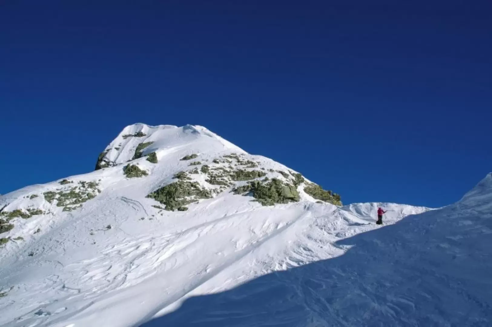
Mount Ponteranica Central
A classic excursion that accompanies the nearby and more popular ascent to Monte Salmurano, but in a more atmospheric environment...
BS
0.00 Km
918 m
Edited by:
Marco Bonati
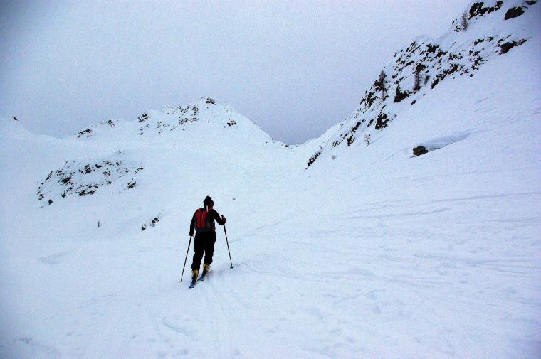
Mount Valegino
One of the many beautiful hikes possible from Tartano, and probably one of the least frequented. The arrival at the...
BSA
0.00 Km
900 m
Edited by:
Marco Bonati
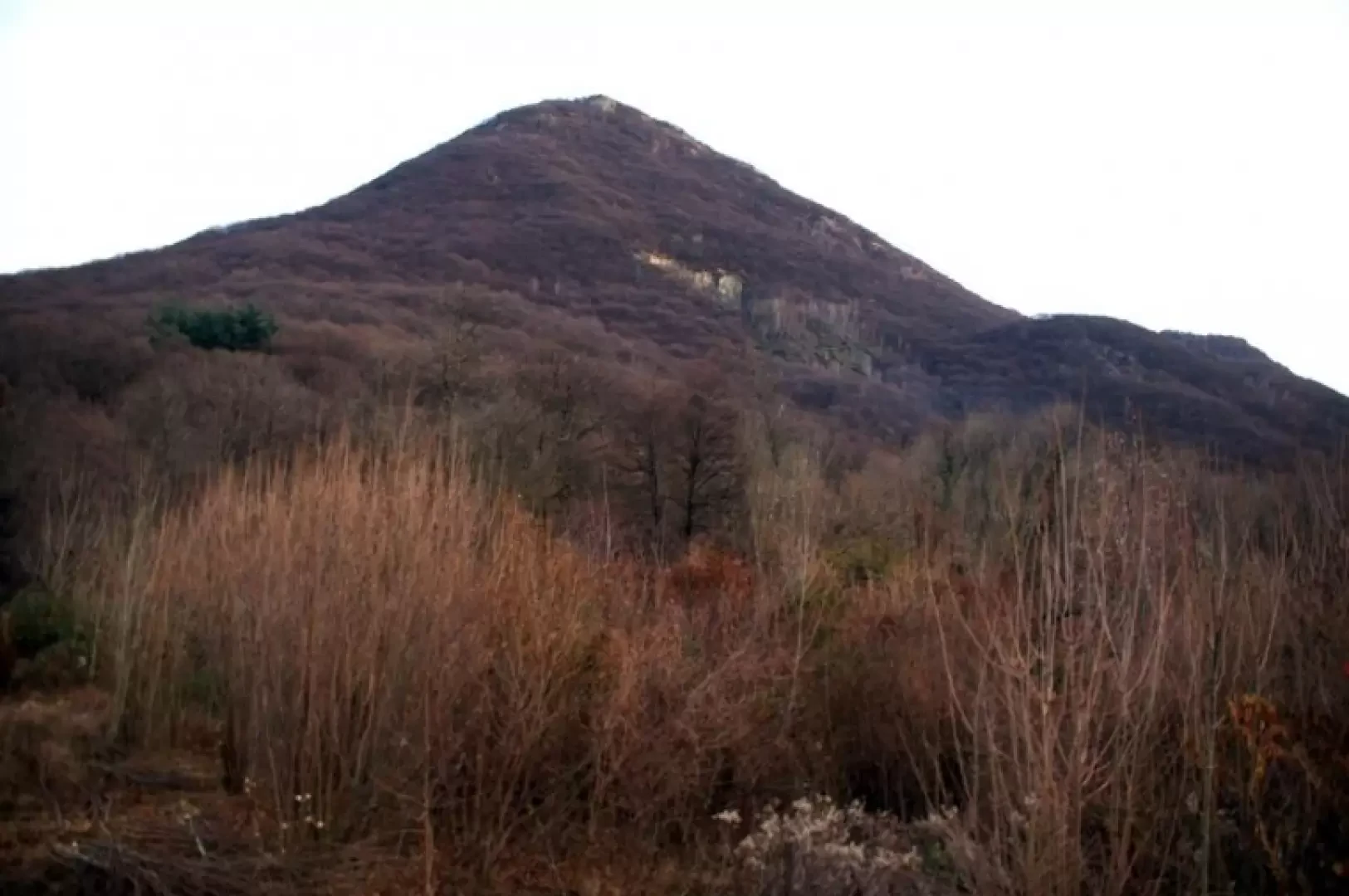
Montorfano
Short hike with a modest difference in altitude leading to the top of the isolated hill at the centre of...
T2
0.00 Km
595 m
Edited by:
Marco Bonati
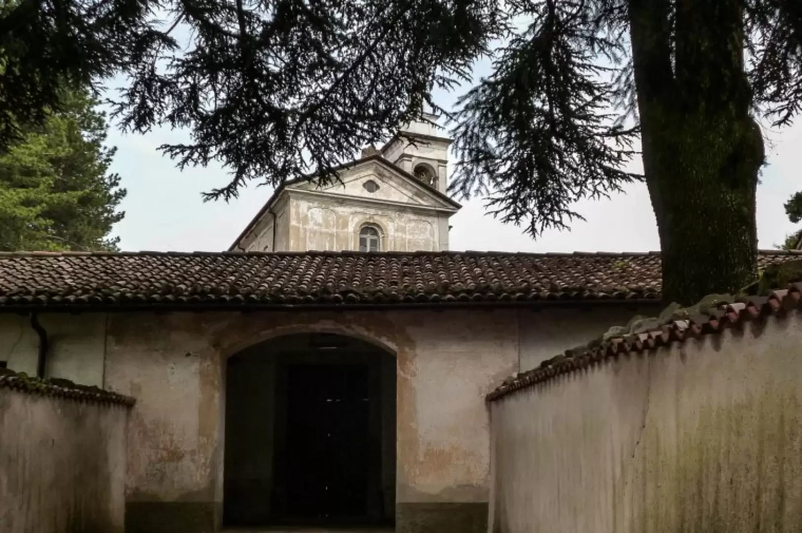
Monte San Genesio
Circular trip around the so-called Monte di Brianza, a group of wooded heights aligned along a morainic cordon of the...
T2
25.00 Km
750 m
Edited by:
Marco Bonati
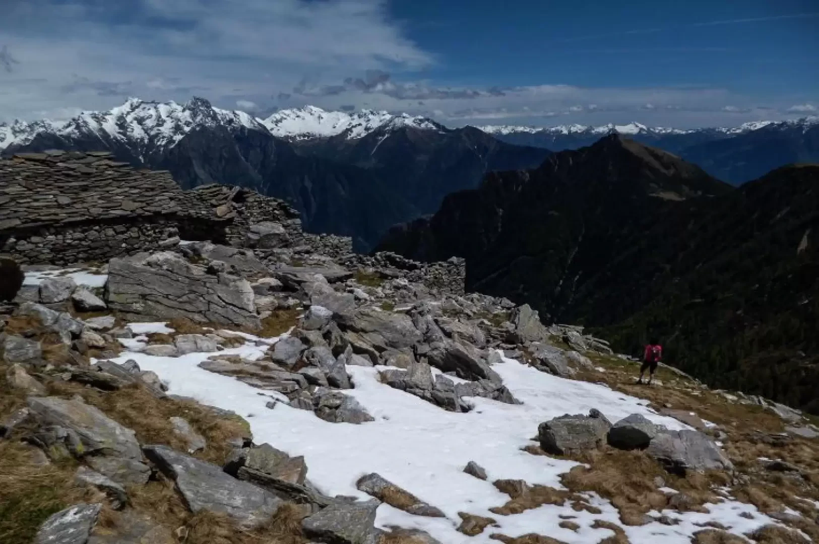
Alpe Canale, from Sant’Andrea to Mot
A little-known hike that takes you to remote and abandoned mountain pastures in an extremely wild and rugged landscape: you...
T4
16.00 Km
1545 m
Edited by:
Marco Bonati
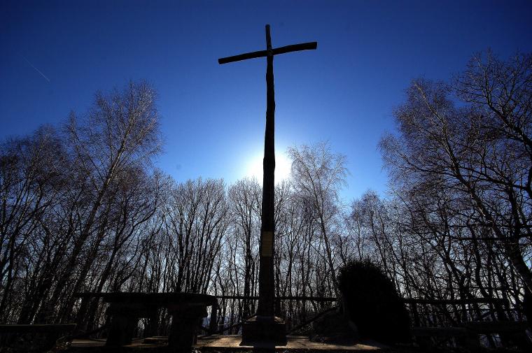
Monte Crocione, from Porchera
Long hike with overcoming the main difference in altitude immediately at the start, and then continuing along the entire ridge...
T2
0.00 Km
634 m
Edited by:
Marco Bonati
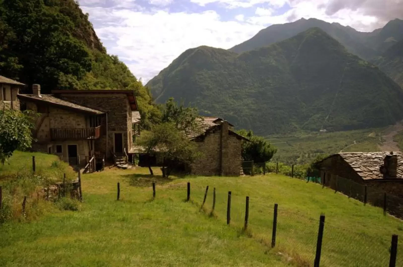
Old hamlets of Morbegno
A hike that is doable all year round, but annoying because of the heat in the summer season. It does...
T2
0.00 Km
346 m
Edited by:
Marco Bonati
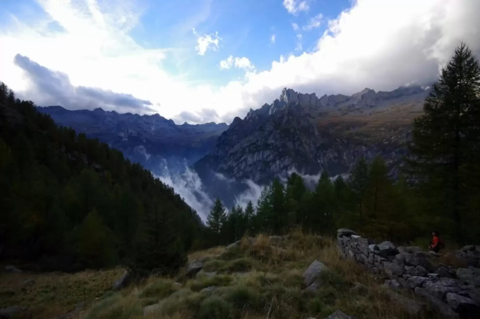
Arcanzòlo, from San Martino Valmasino
A completely unknown excursion to an alpine pastureland that has been abandoned for decades and whose only hut is now...
T2
0.00 Km
858 m
Edited by:
Marco Bonati
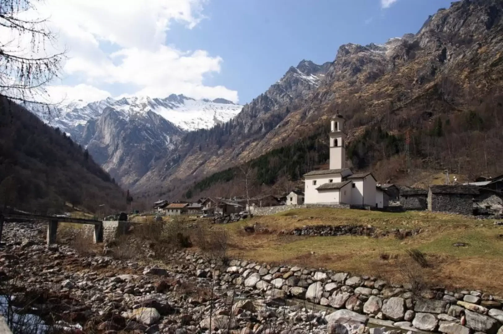
Bodengo, from Gordona
Since 1987, the village of Bodengo can be reached comfortably by car (toll road): this excursion, on the other hand,...
T2
0.00 Km
1250 m
Edited by:
Marco Bonati
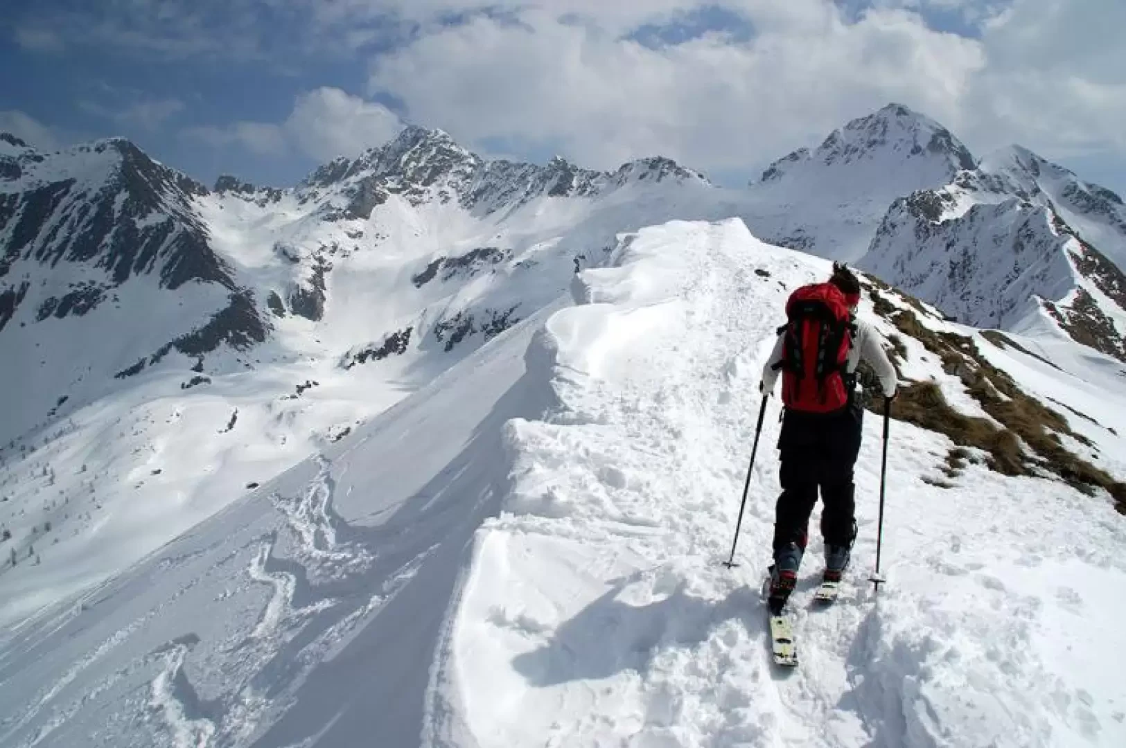
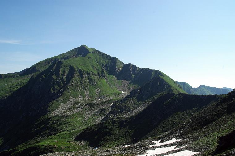
Monte Azzarini, from the San Marco Pass
A very pleasant ridge walk along the border between the provinces of Sondrio and Bergamo (Valtellina and Valbrembana); the route...
T4
5.73 Km
679 m
Edited by:
Marco Bonati
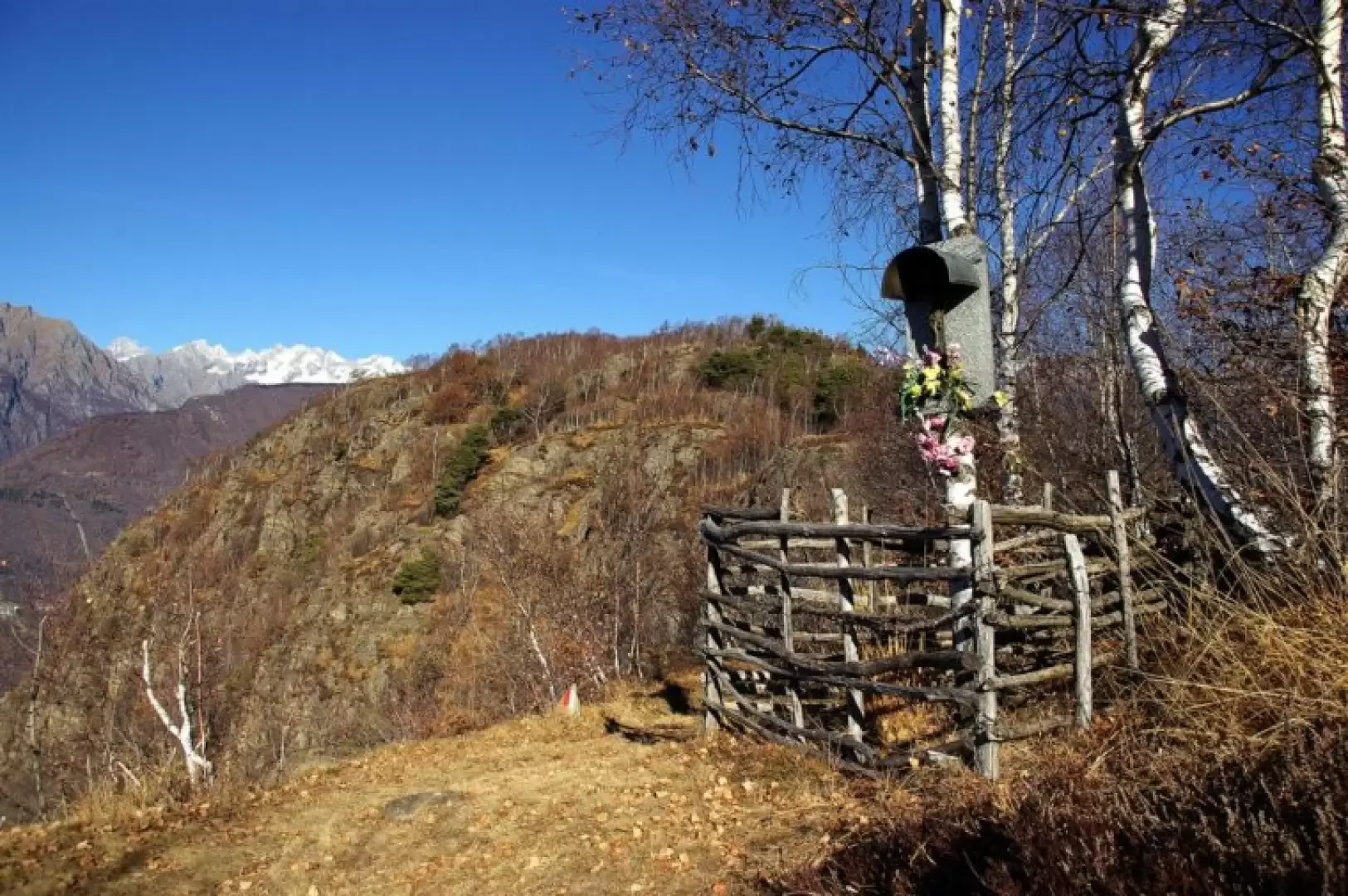
Crap del Mezzodì, from provincial road 11
Short half-day excursion that leads up a 'crap' (in Valtellinese dialect, this is a rounded rocky summit, rather isolated from...
T2
0.00 Km
681 m
Monte Salmurano
16/06/2024
Monte Salmurano
16/06/2024
Pizzo Guardiello
24/06/2014
Edited by:
Marco Bonati
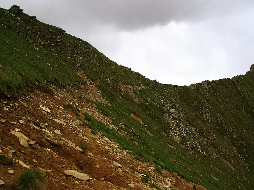
Caldenno Pass
A large grassy depression located on the ridge that descends from the Corni Bruciati to Monte Caldenno connects the Val...
2517 m
Edited by:
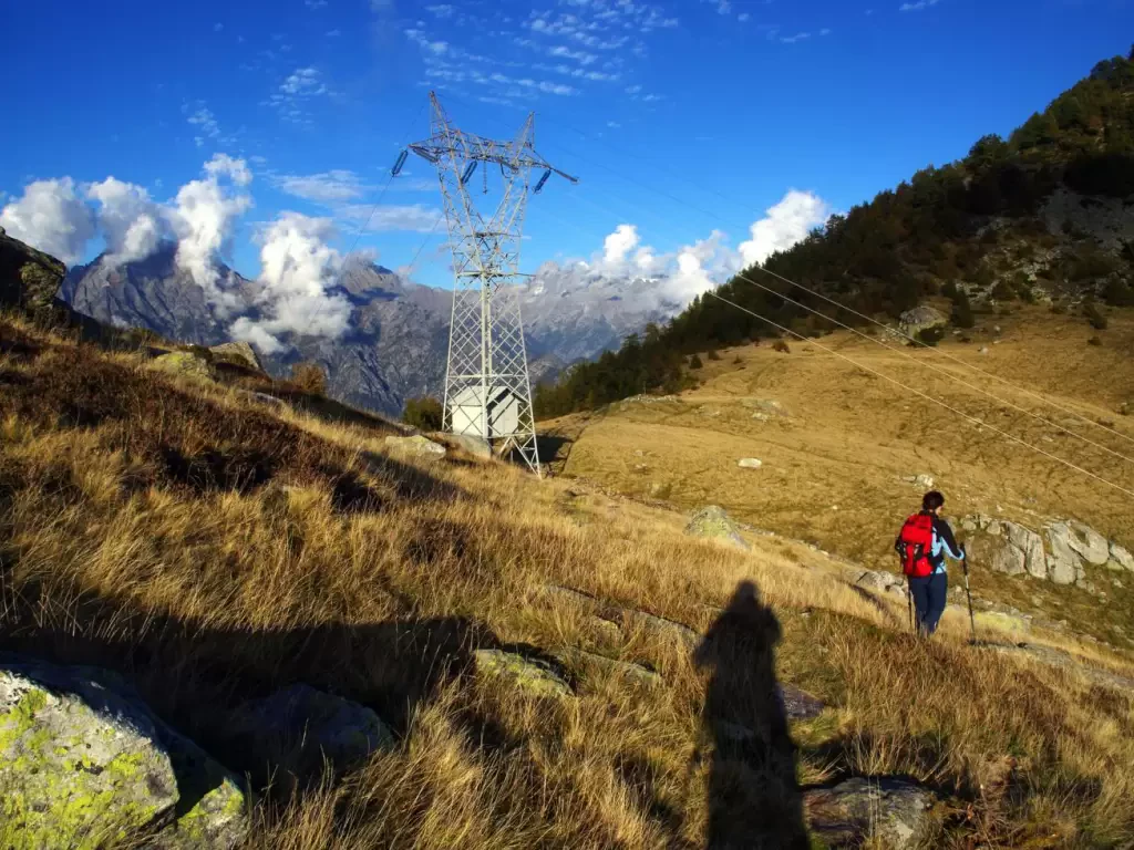
Marco Bonati
Clear nozzle
The Bocchetta di Chiaro is a ridge col separating the Lake Como side from the Valchiavenna valley floor, at 1,666m...
1666 m
No results
No results