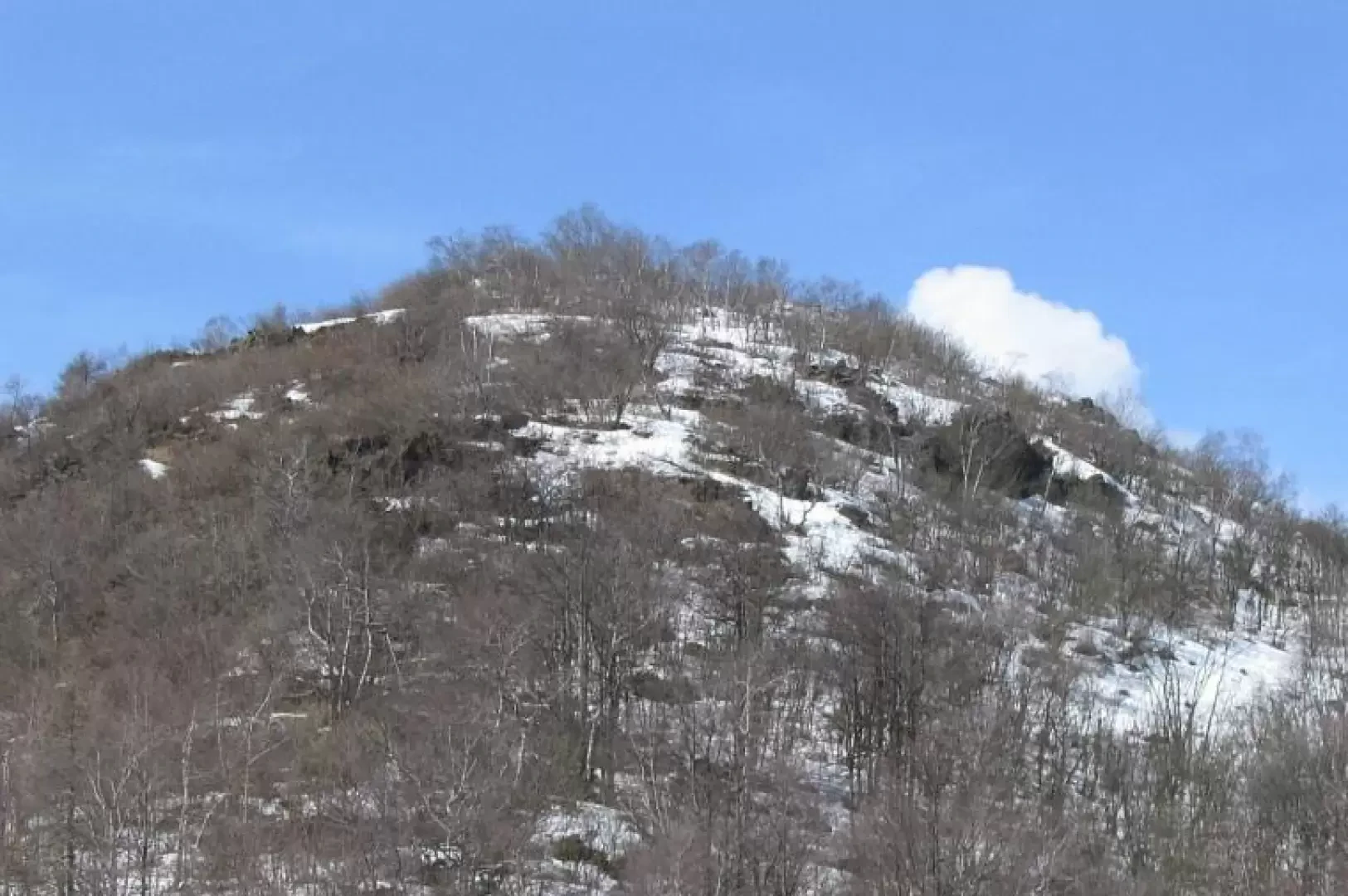
Mont Lera, depuis Givoletto

Édité par :
Stefano Alberto Malan
Dernière enquête: 06/04/2009
Mis à jour le: 22/07/2026
Mis à jour le: 22/07/2026
Difficulty
T2
Longueur
7.61 Km
Altitude de départ
575 m
Hauteur d'arrivée
1371 m
Dénivelé positif
819 m
Dénivelé negatif
819 m
Temps aller
02h30'
Temps de retour
01h30'
Période recommandée
Exposition
Comments (0)
Sign in to leave a comment