Punta Leretta, from Coumarial


Edited by:
Massimo Martini
Updated at: 21/06/2026
Access
Navigazione stradale
Lasciare l'autostrada al casello di Pont-Saint-Martin, svoltare a destra dopo 100m e alla prima rotonda prendere la seconda uscita. Proseguire fino alla seconda rotonda e prendere la terza uscita per entrare nel centro abitato di Pont-Saint-Martin. Dopo alcune centinaia di metri, svoltare a destra e imboccare la (1,2km) in direzione della Valle del Lys. Percorrere la strada regionale per 10,2km (11,4km) e attraversare i centri abitati di Lillianes e Fontainemore. Circa 1km dopo il centro di Fontainemore, svoltare a destra e seguire le indicazioni per Pian Coumarial. Attraversare il ponte sul torrente Lys e imboccare la strada comunale in salita. Proseguire per 7,5km (18,9km) e oltrepassare le località di Colombit, Pacoulla, Pianpervero, Jugeo, Chouchal, Pra Dou Sas, Cios, Challasc, Colla, Grange, Savaroy, Goy e infine Coumarial.
Parcheggio
Al termine della strada si trova un parcheggio 🅿️ gratuito in prossimità dell'area picnic, dove è disponibile un fontanile 💧 per il carico dell'acqua, poiché lungo il percorso non sono presenti altri punti di approvvigionamento.
Accesso con mezzi pubblici
Per raggiungere il punto di partenza dell'itinerario è necessario un mezzo privato, poiché Coumarial non è servita da trasporti pubblici. Nel periodo estivo è attivo un servizio di navetta che collega Coumarial al lago Vargno.
Distanza e tempo di percorrenza
🕒 Tempo di percorrenza: 30 minuti
📏 Distanza: 18,9km
Navigazione GPS
Nota informativa
Le indicazioni fornite sono state verificate alla data del rilievo dell'itinerario. Prima della partenza si consiglia di verificare possibili variazioni del percorso o delle condizioni stradali. Per informazioni aggiornate si raccomanda di consultare Google Maps o Apple Maps.
Introduction
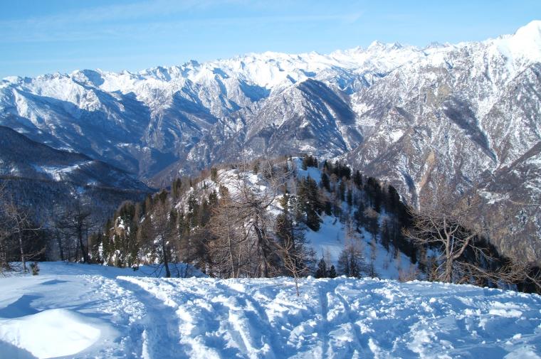
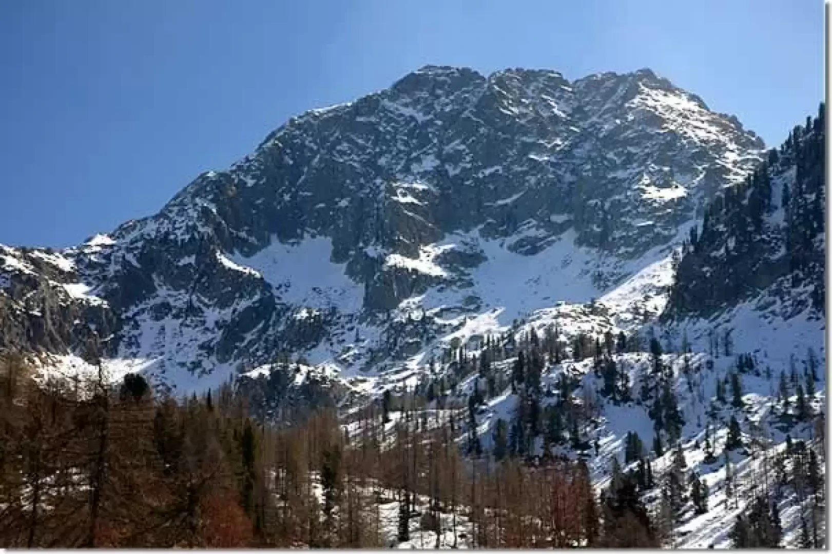
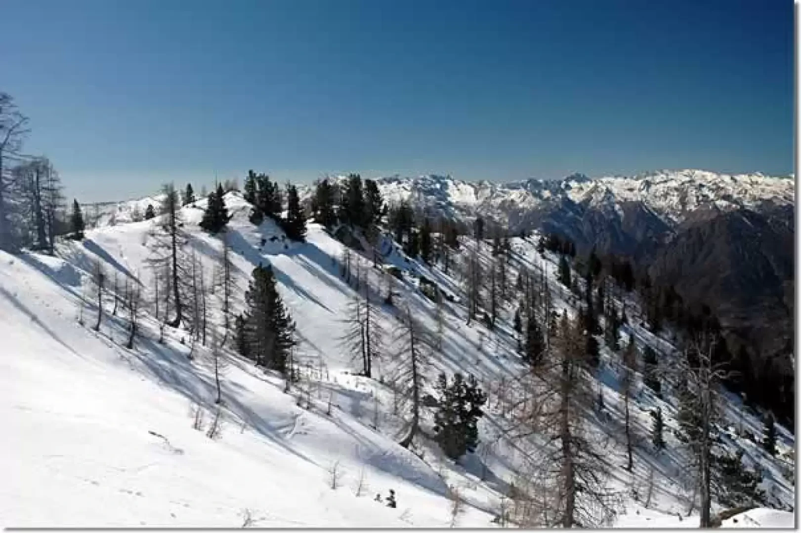
This itinerary, immersed in the Mont Mars Nature Reserve, offers a pleasant contact with a varied natural environment. The ascent to Punta Leretta provides a privileged vantage point over the lower Aosta Valley.
Description
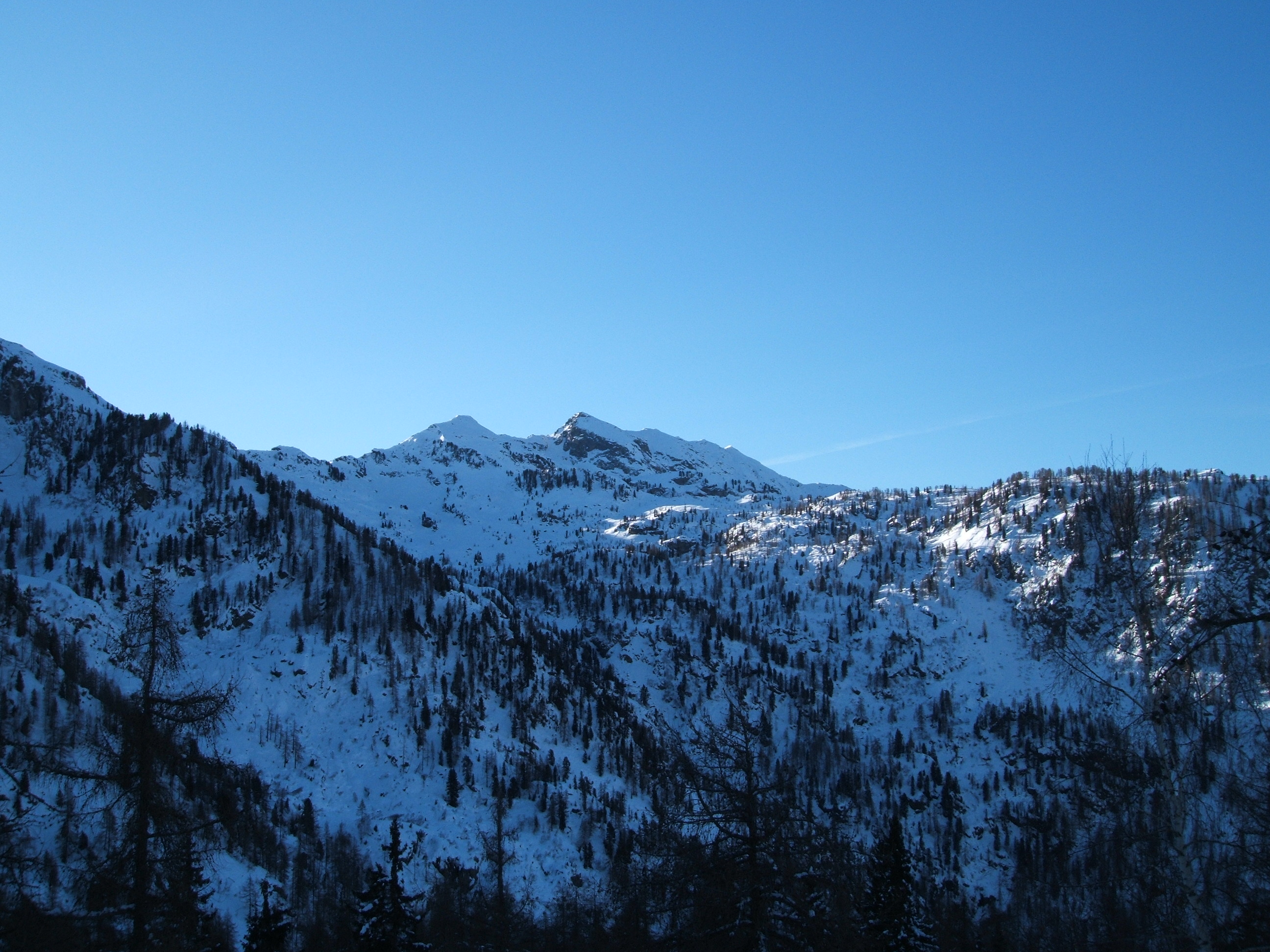
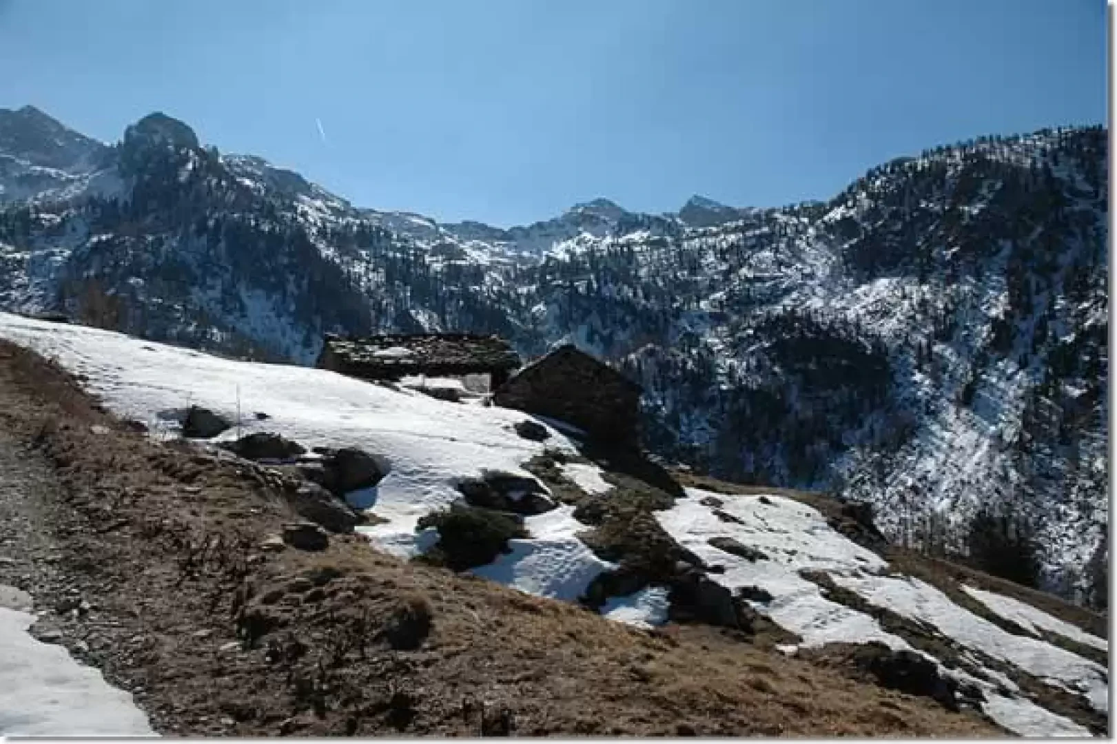
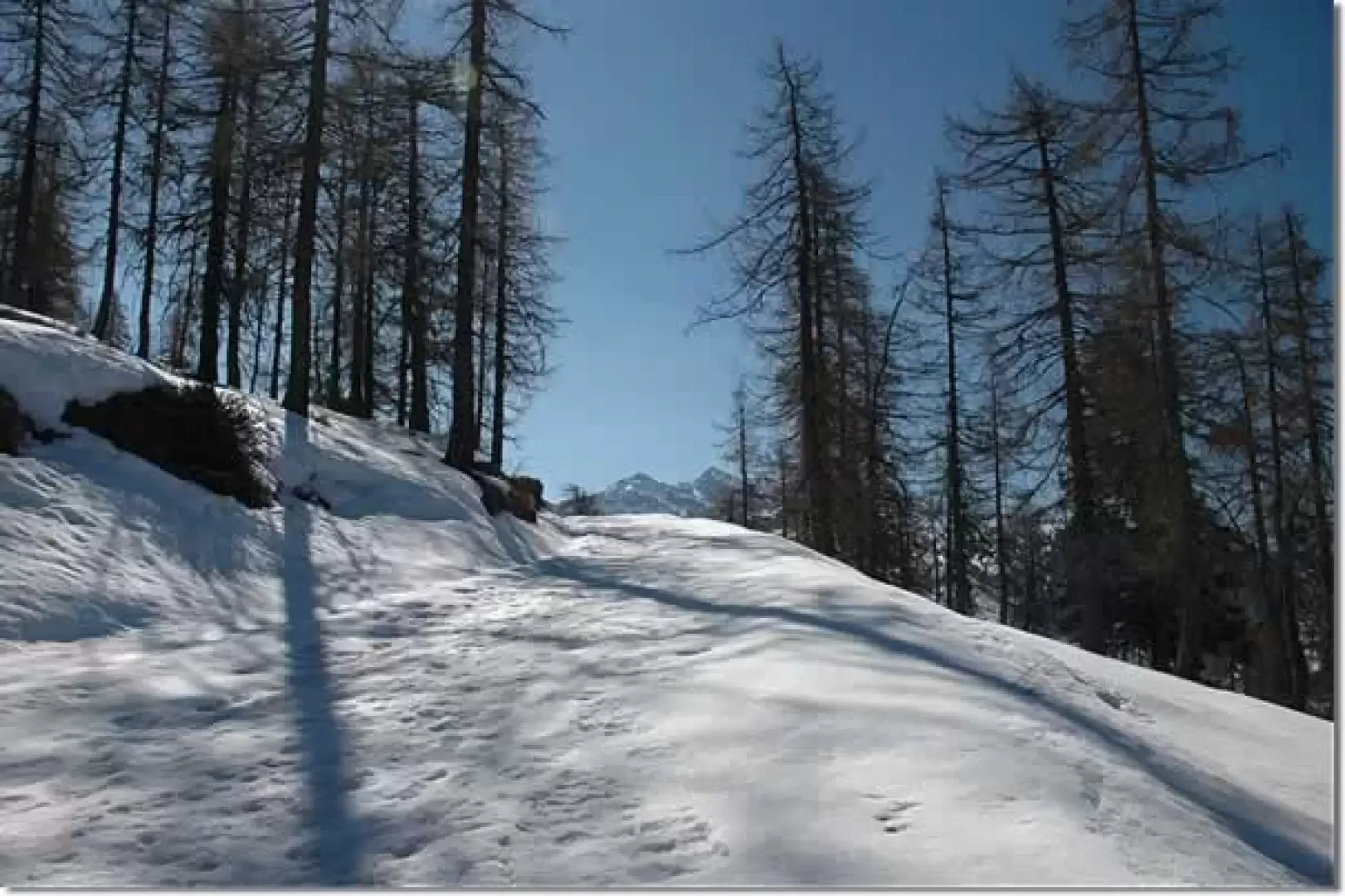
Leaving the car behind, we take a small snowy road with a car ban. We take a couple of turns until we reach some characteristic dwellings: shortly afterwards we turn right, ignoring the nature trail, which continues straight ahead. You walk along the track that crosses a thick larch forest (Larix decidua); the first part goes slightly uphill until you reach the crossroads for Cour de Ry (1529 m, 0h15'): you ignore the descent on the right and continue along the track until you come out of the forest; from here, in a few minutes, you reach the cottages of Vercosa (1606 m, 0h30').
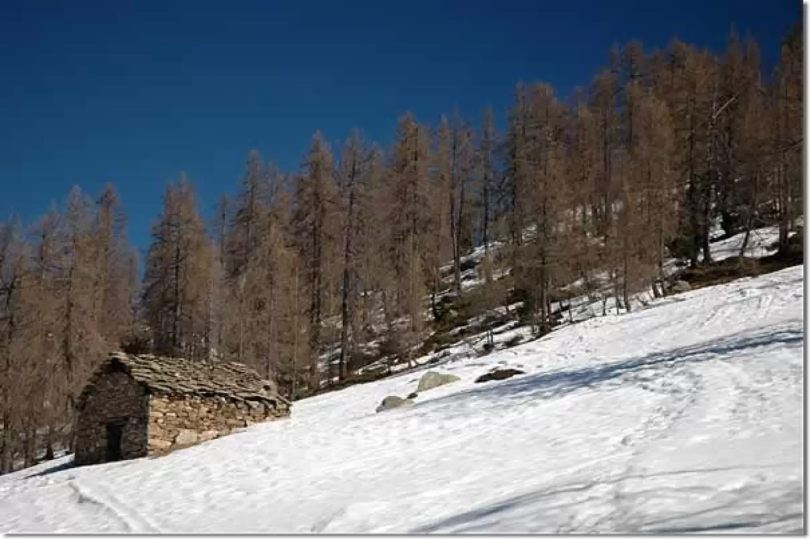
Having passed Vercosa, the track turns slightly to the left and then climbs to a plateau below the Crotal Alp (1696 m, 0h45'). The little road, with a series of small bends, crosses the mountain pasture and leads to the Gressoney valley side: interesting panoramic views of the Dames de Challand. After a straight stretch, turn right and finally reach the village of Leretta (1805 m, 1h00').
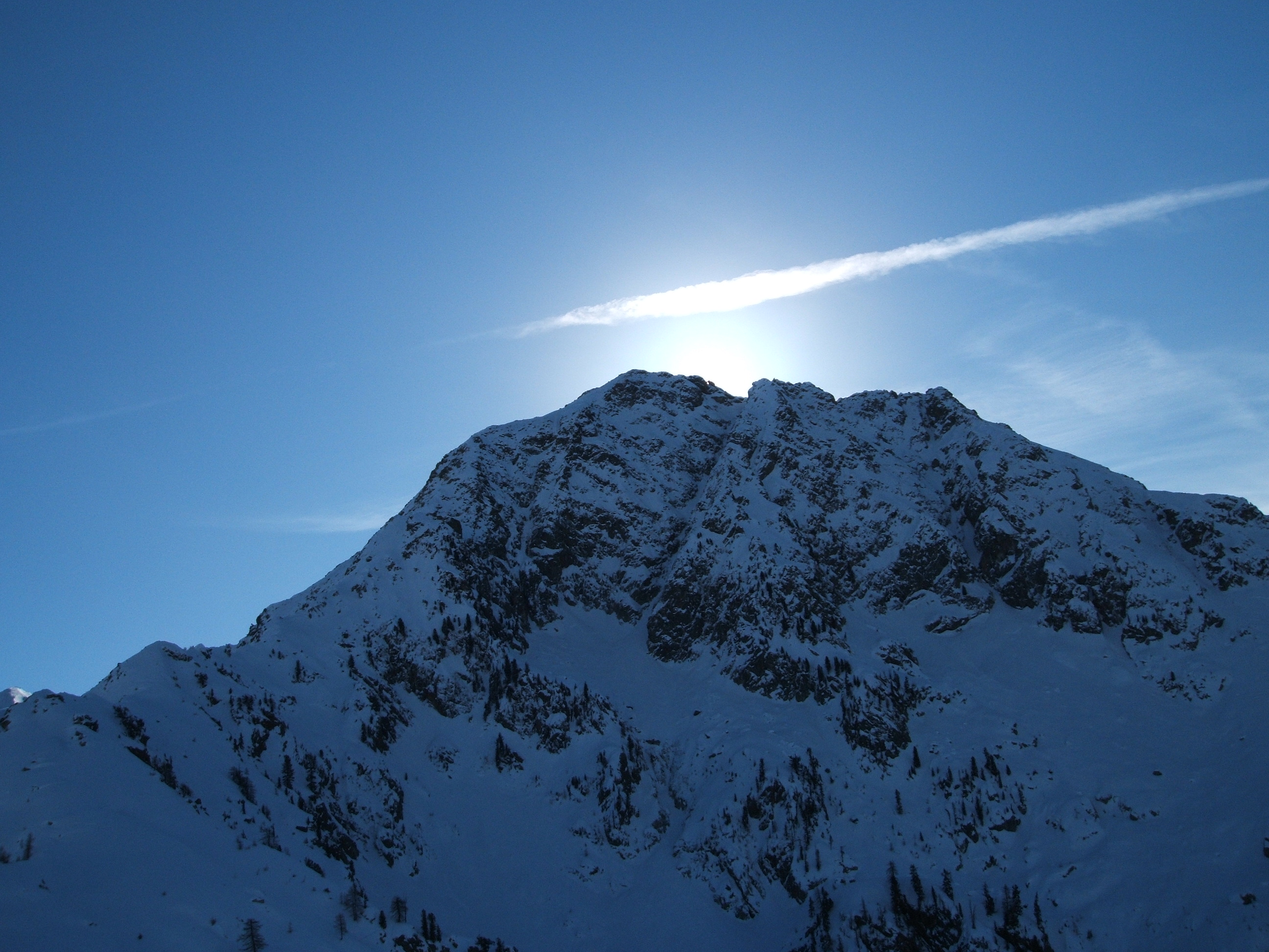
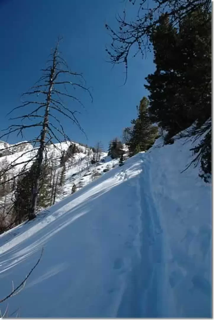
Without descending to the houses below, turn left into a clearing near a small stone house. Shortly afterwards, you enter the larch forest and, moving to the left, reach the base of the Leretta ridge. We are now close to our destination, and we follow a fairly sloping traverse (take care if it is very icy) and finally come out on the summit ridge of the Punta Leretta (1997 m, 1h30'). If you want to continue, you can walk along the entire ridge, with a splendid view of Mont Mars, until you reach a second, slightly higher peak.
The descent follows the same route as the ascent (1h30').
The itinerary does not present any particular objective dangers: it is recommended to do it at the beginning of the season, after the first snowfall. Please note that if there is no groomed track, the walking time increases slightly.
.Riferimenti Bibliografici
- Tracce Lievi - Martini Massimo -
Galleria fotografica


We have been there

Edited by:
Silvia Quaglino
Punta Leretta
partenza da coumarial ( bivio a dx. dopo fontainemore, salire per alcuni km. seguendo le indicazioni per ecomuseo del monte mars) dove vi è anche una pista di fondo. il primo tratto di gita si svolge lungo la pista di fondo ( vi è una parte dedicate alle ciaspole ed agli scialpinisti, che occorerrebbe rispettare!) poi si trovano delle paline rossse con il simbolo delle ciaspole. io ho tagliato prima della prime baite, dove vi è la diramazione per il rifugio coda, sfruttando la traccia di uno scialpinista prima di me. la gita così si è svolta prevalentemente nel bosco, incrociando solo una volta la pista(strada interpoderale) in prossimità delle baite leretta. neve abbondantissima. scendendo ho tagliato nel bosco e , fuori da precedenti tracce di discesa , sono sprofondata oltre alla vita. dalla cima consiglio di seguire le numerose tracce e proseguire ancora per circa un centinaio di mt. sino a raggiungere un'altra piccola punta. dalla cima si vede , in lontananza, il monviso ed il cervino