Mont Tantané, from the Artaz car park


Edited by:
Sergio Enrico
Updated at: 21/06/2026
Access
Navigazione stradale
Lasciare lo svincolo autostradale di Châtillon, svoltare a sinistra e procedere per 300m (0,3km) fino alla rotonda. Imboccare la terza uscita e proseguire su Via Émile Chanoux. Attraversare il centro storico di Châtillon per 600m (0,9km), quindi svoltare leggermente a destra su Via Menabreaz e proseguire per 450m (1,35km) fino alla rotatoria con il Cervino. Prendere la seconda uscita e imboccare la della Valtournenche per 7,7km (9,05km) fino ad Antey-Saint-André. Svoltare a destra e imboccare la in direzione La Magdeleine. Risalire la regionale per 8,4km (17,45km), superando Brengon, fino al parcheggio di Artaz.
Parcheggio
Ad Artaz si trova un parcheggio 🅿️ gratuito, punto di partenza dell'itinerario.
Accesso con mezzi pubblici
Per raggiungere il punto di partenza dell'itinerario è necessario un mezzo privato, poiché Artaz non è servita da trasporti pubblici.
Distanza e tempo di percorrenza
🕒 Tempo di percorrenza: 28 minuti
📏 Distanza: 17,45km
Navigazione GPS
Nota informativa
Le indicazioni fornite sono state verificate alla data del rilievo dell'itinerario. Prima della partenza si consiglia di verificare possibili variazioni del percorso o delle condizioni stradali. Per informazioni aggiornate si raccomanda di consultare Google Maps o Apple Maps.
Introduction
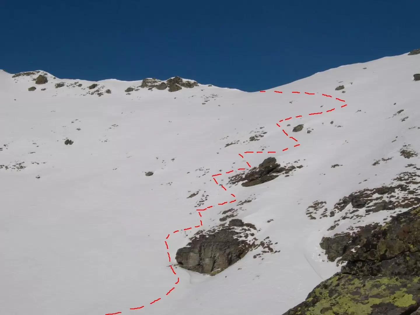
A very wide route in the lower part. The section that leads to the ridge is very steep and requires well-treaded snow. The ridge can normally be traversed without skis.
Description
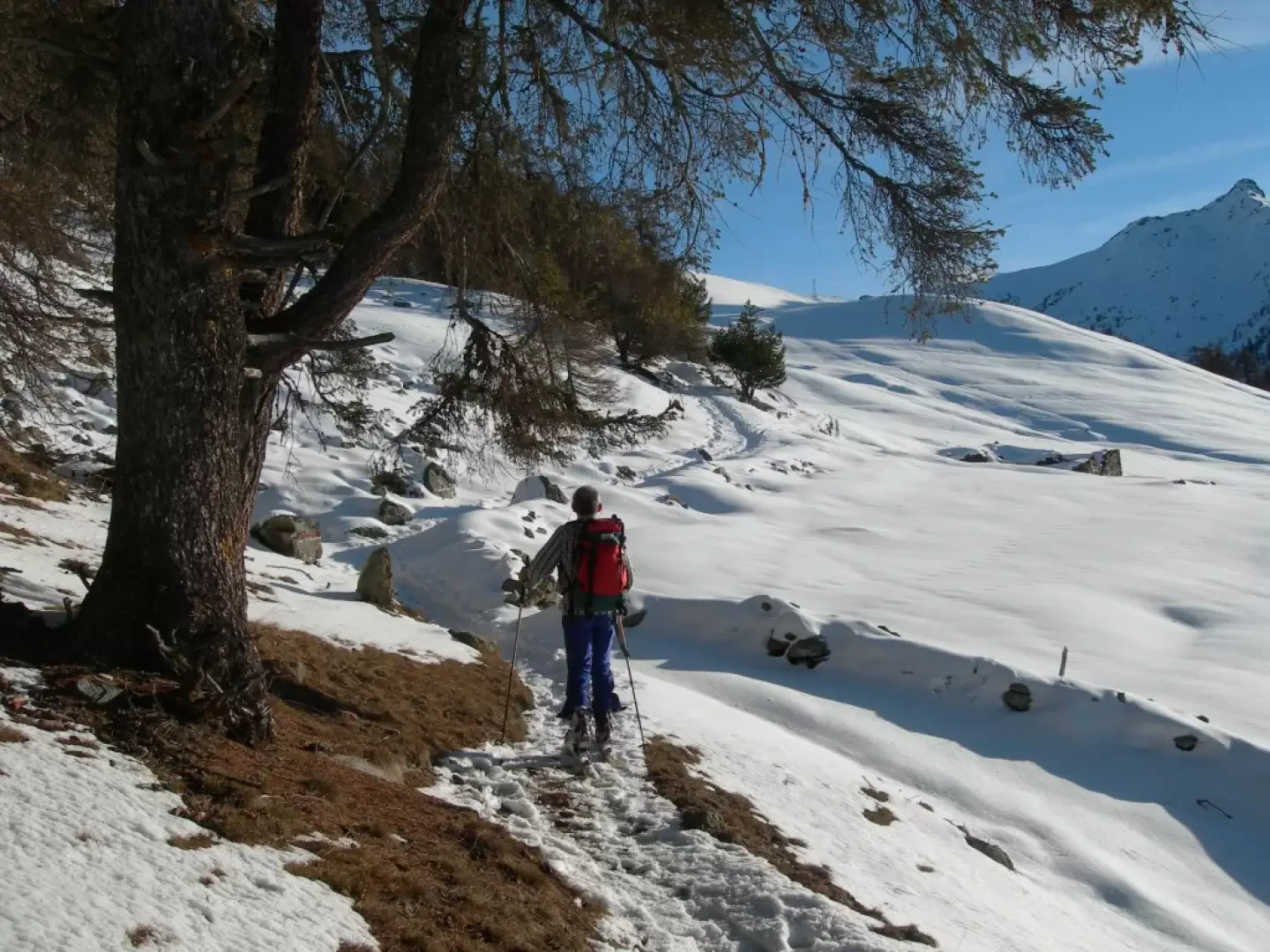
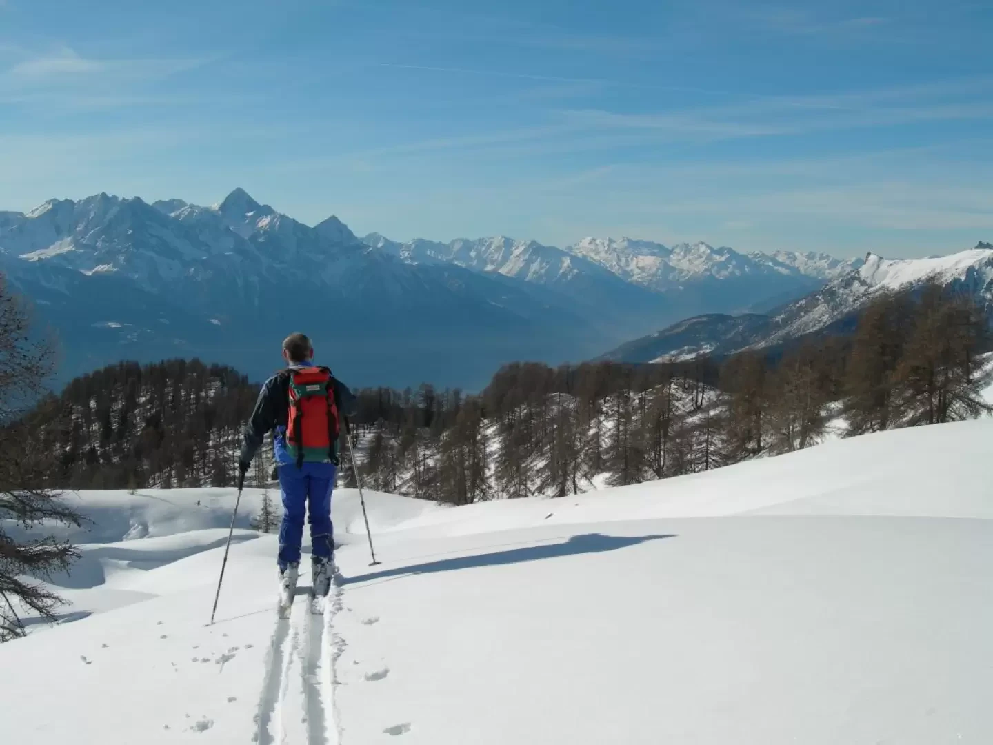
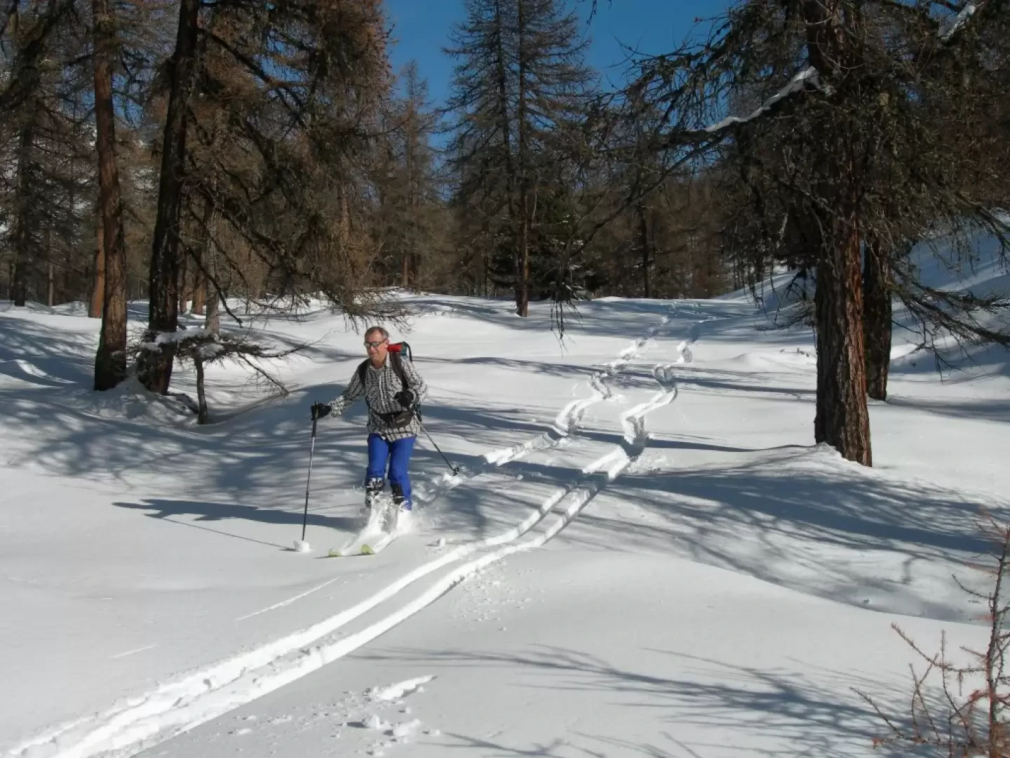
From the hamlet of Artaz, pass between the houses (normally on foot) beside the fountain. When you reach the road again, follow a small snowy road to the right that leads to the upper part of the ski slopes. Skirting the slopes, turn left and then, at a group of huts, take a steep forest road on the right. Follow it to the end, continue on the level along the track of a footpath until reaching the valley that descends to Promiod. Descend a few metres and cross to the left until passing a hut. Continue along wide, gentle slopes to enter the valley to the right of the Tantané. Keeping away from the steep south-east slope, climb up a very steep section to the ridge. Leave your skis behind and continue along the ridge to the summit.
Galleria fotografica