Reports Map Points of interest Photostream Community Magazine Webcam

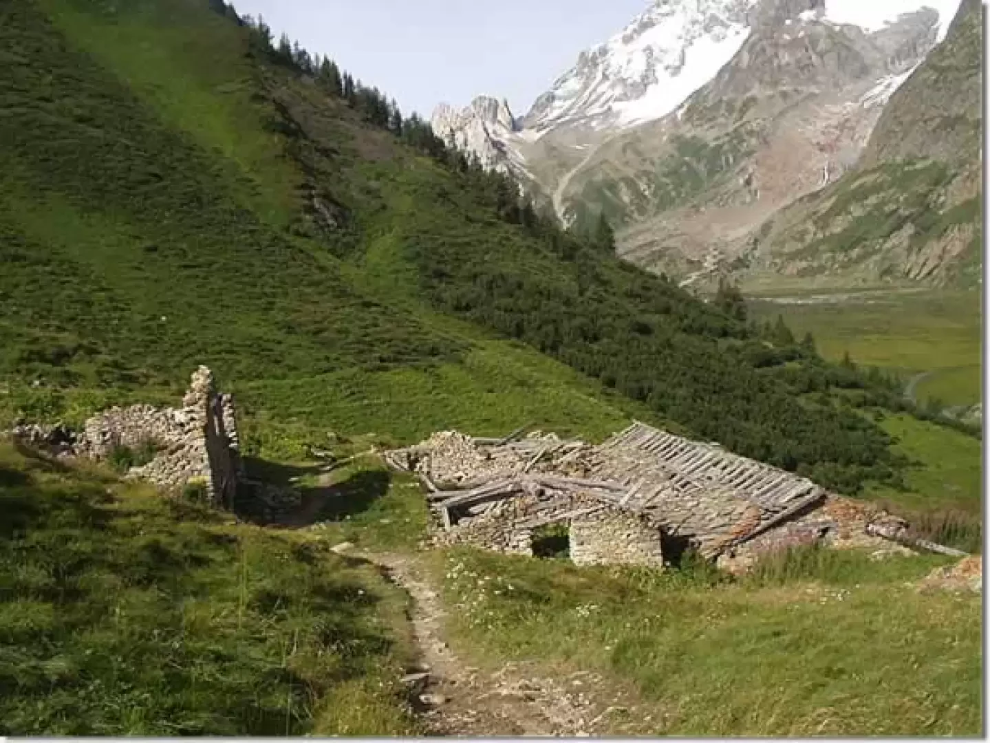
Mont Fortin, from La Visaille

Mont Fortin, from La Visaille
ivano_ruffoni

Edited by:

Last survey: 27/08/2004
Updated at: 03/09/2024

Comments (0)

New comment added!

Sign in to leave a comment

No comments yet. Be the first to comment!
Difficulty
T2
Length
0.00 Km
Departure altitude
1659 m
Arrival height
2758 m
Positive difference in height
1099 m
Round trip time
03h00'
Return time
02h30'
Recommended period

Introduction

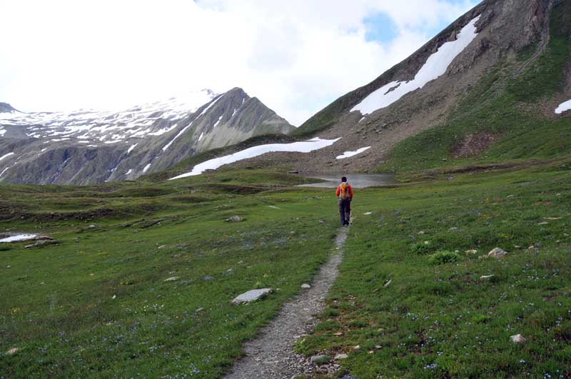
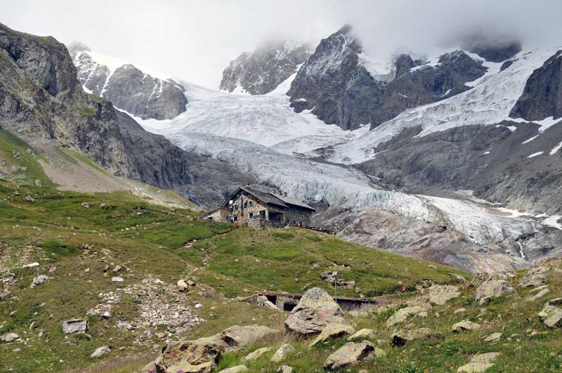
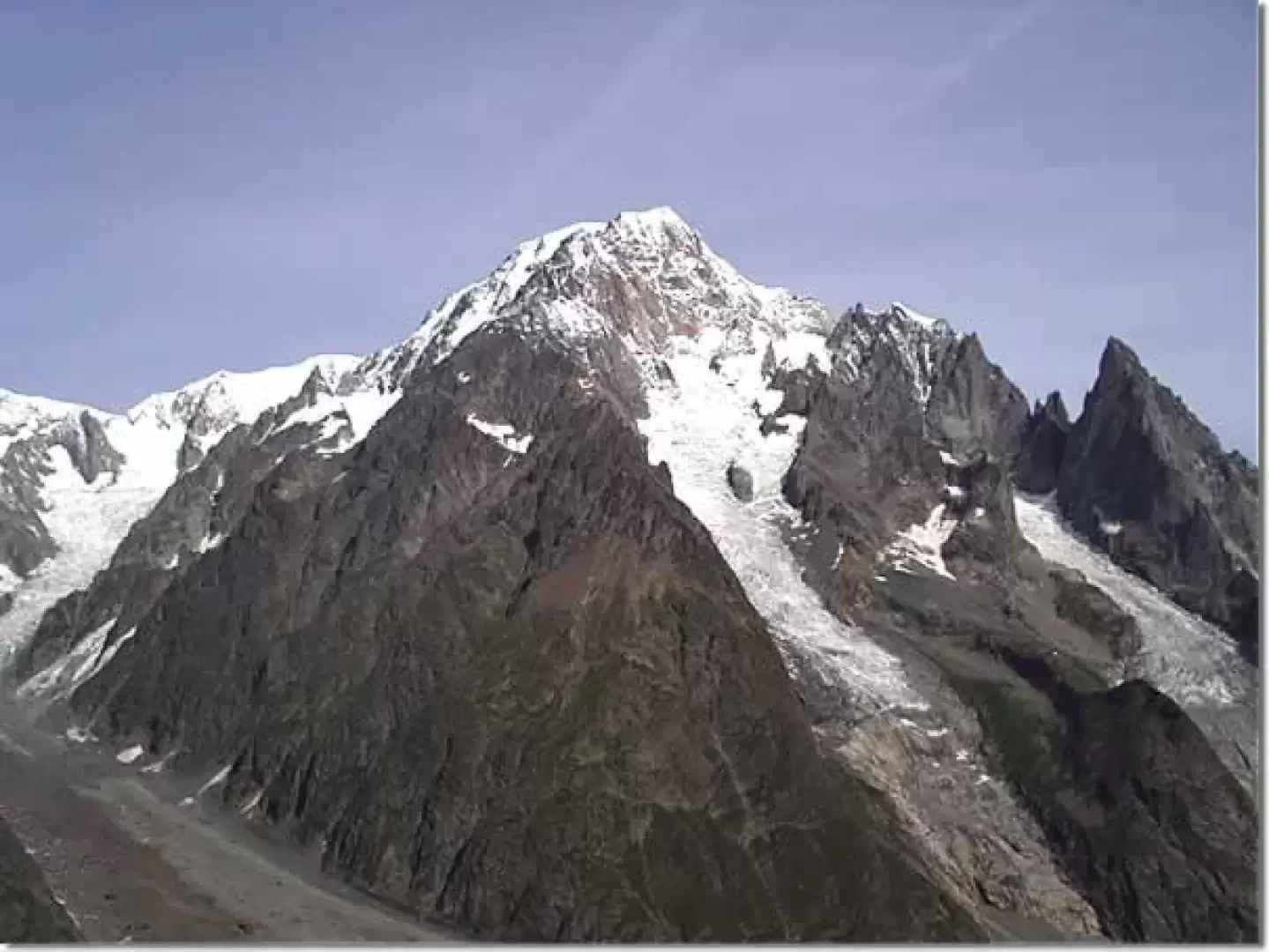
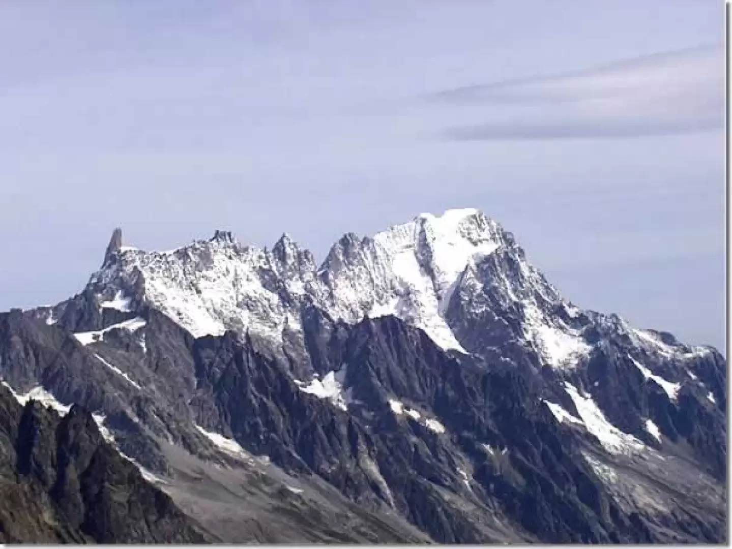
Tour to observe the peaks of the Mont Blanc group overlooking the upper Val Veny.

Description

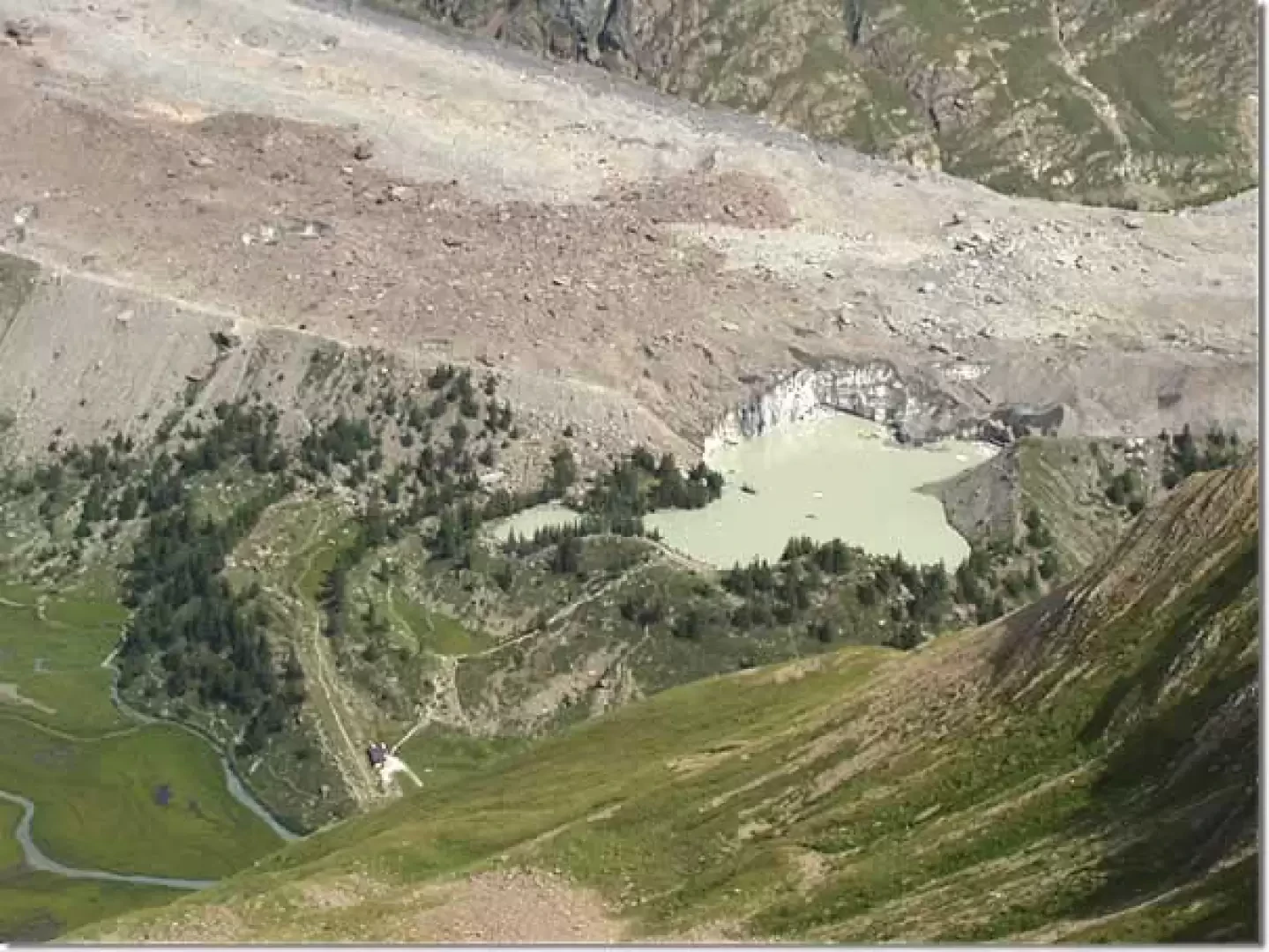
We proceed along the tarmac road, which, after two hairpin bends, skirts the base of the Miage glacier moraine on the right and reaches the Combal bridge (2020m) (where the remains of an old dam used for military purposes to hinder French invasions are visible).


Photo gallery

© 2021 - Ivano Ruffoni
We have been there
giancarloberetta

Edited by:

Sunday 16 June 2024

Mont Fortin

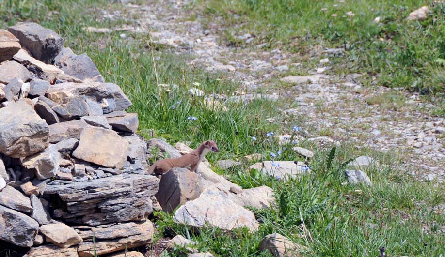
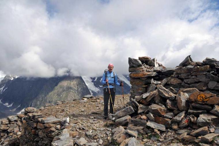
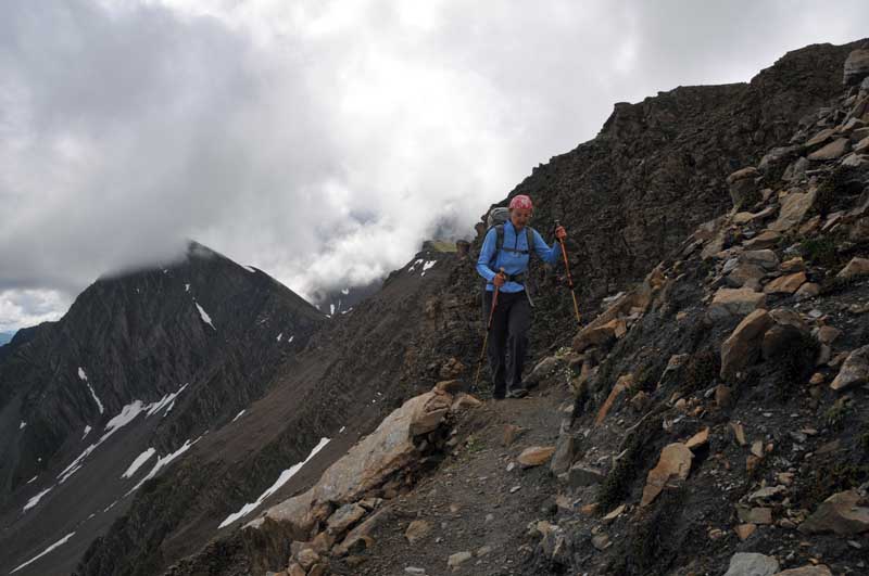
Fatto il giro ad anello, circa 20 km, scendendo verso il col de Chavannes ed il rifugio Elisabetta. Traccia sempre ben evidente e solo un po' esposta nel breve traverso sotto la vetta Peccato per le nuvole che hanno nascosto gli angoli piรน remoti e selvaggi del monte Bianco! Avvistamenti faunistici: Mustela erminea
Comments (0)

New comment added!

Sign in to leave a comment

No comments yet. Be the first to comment!
Login to post