Leave the motorway at the Verrès junction. Enter the roundabout and take the third exit to join the national road in the direction of Aosta. After about 450 metres, at the next roundabout, take the first exit and continue on the state road for another 1.3 kilometres. Turn left onto the regional road with signs for the Champdepraz Valley and the Mont Avic Park.
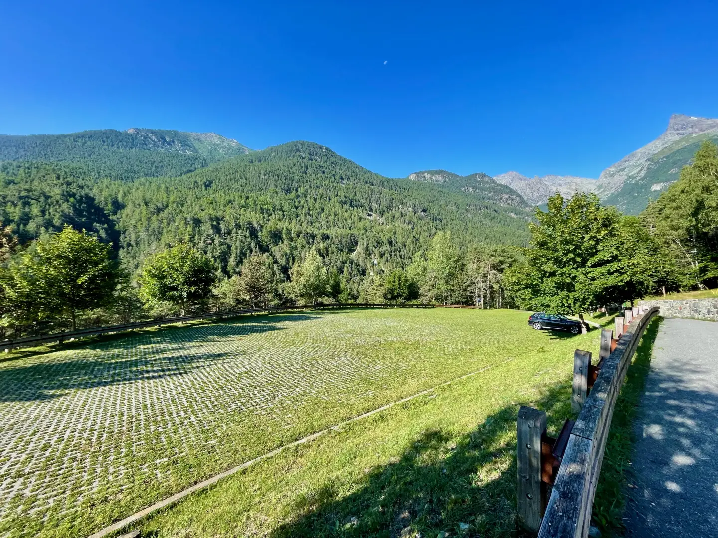
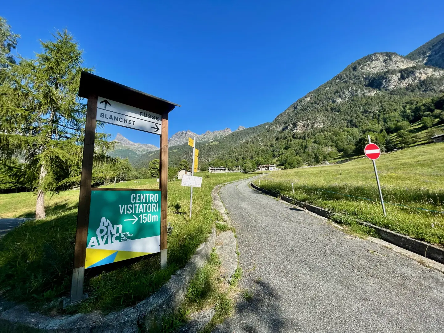
Go up the for about 10 kilometres, passing the village of Champdepraz and heading into the valley. When you reach the panel with signs for Blanchet and Fusse, turn left and follow the municipal road for about 200 metres. Reach the large free car park 🅿️ and leave your car.
In the summer period (July and August) there is a Trek Bus Avic shuttle service that runs from Verrès to Chevrère (Covarey), home to the Mont Avic Park visitor centre. It is advisable to check timetables and availability on this site.
The directions given were verified on the date of the survey of the route. Before departure, it is advisable to check for any changes to the route. For up-to-date and detailed directions, we recommend the use of Google Maps or Apple Maps.
Introduction
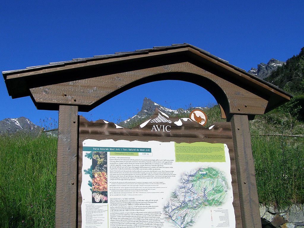
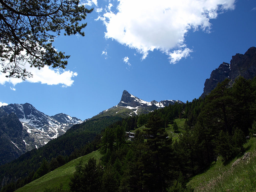
This excursion, within the Mont Avic Natural Park, proposes a well-marked itinerary enriched with informative panels that accompany you step by step to discover the local ecosystem. It is a route with a demanding altitude difference but no technical difficulties, suitable for trained hikers who want a complete experience of nature, knowledge and landscape. The ascent to the Barbeston peak, a natural balcony over most of the Aosta Valley mountains, is preceded by a varied walk through forests, pastures and panoramic stretches, where you will also come across historical evidence such as the ancient Ru Chevrère, an ingenious hydraulic work dating back to the 17th century. A particularly suggestive excursion in mid-season, when the grazing light enhances the contrasts of the territory and restores the silent beauty of the park.
Description
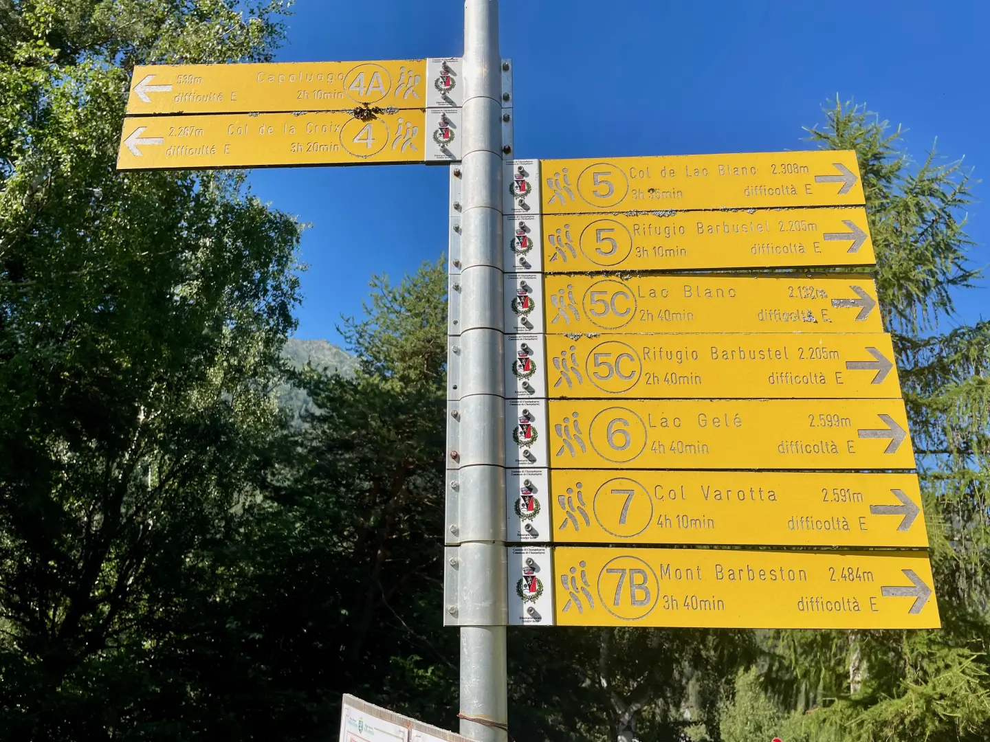
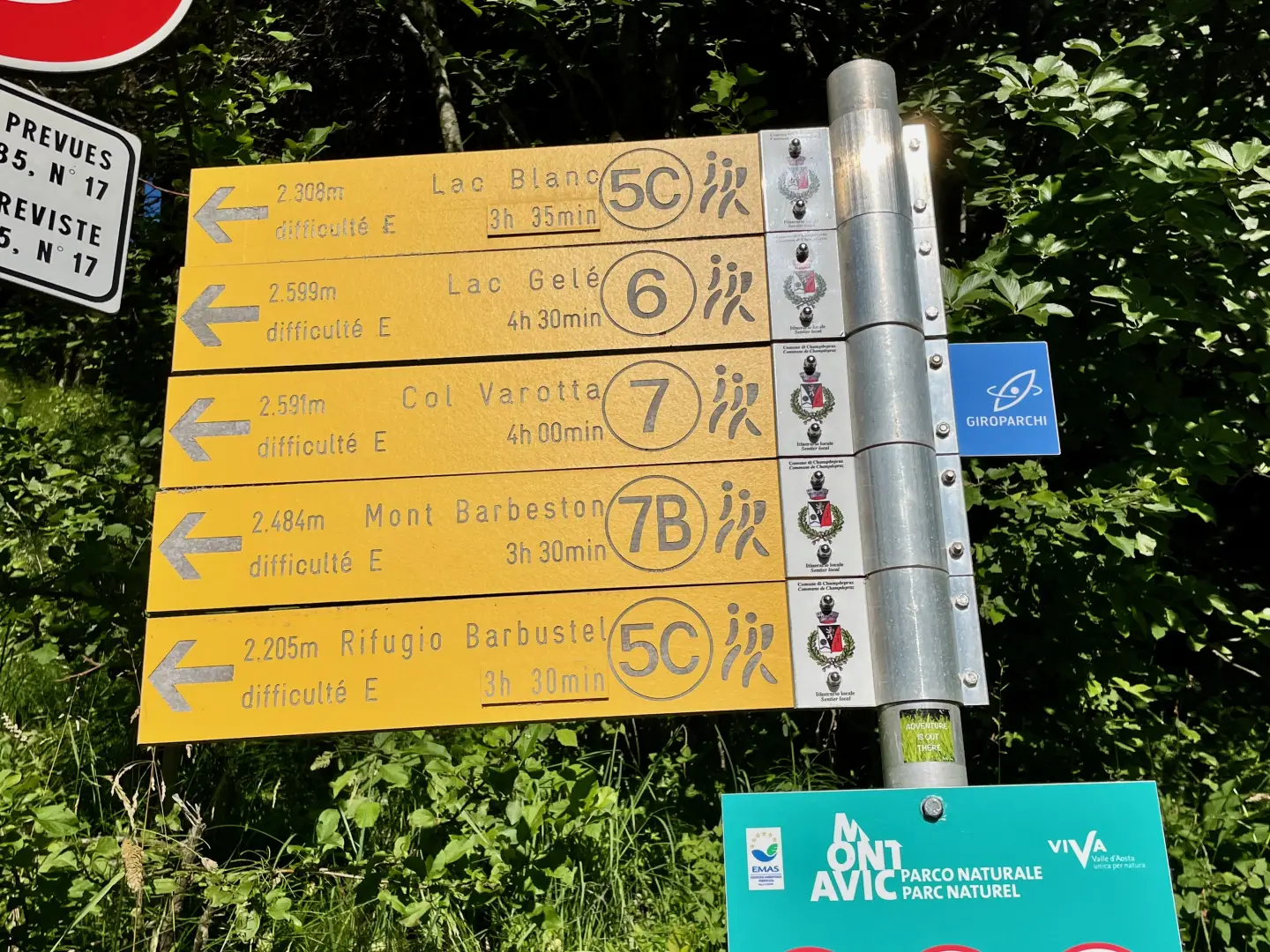
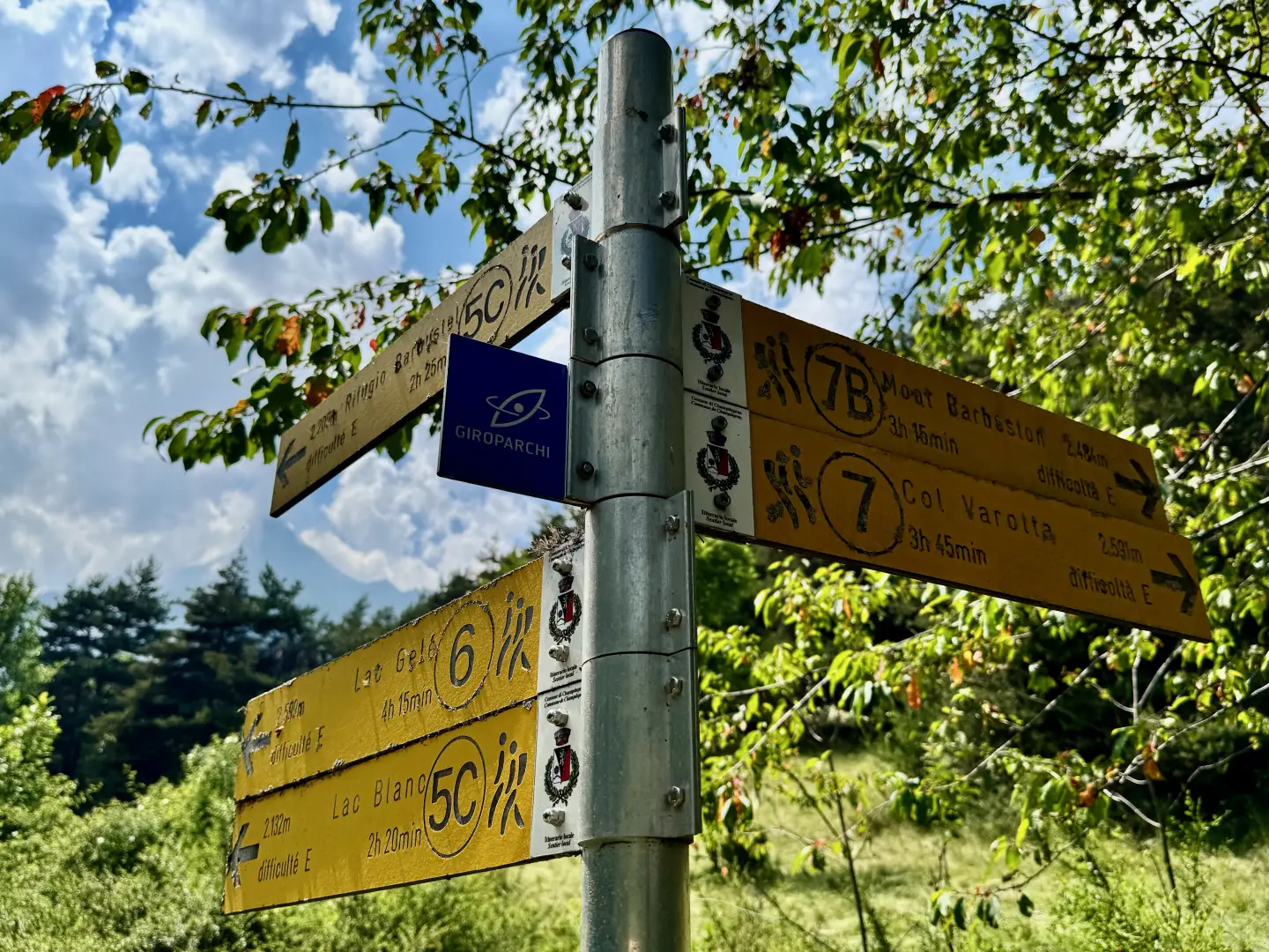
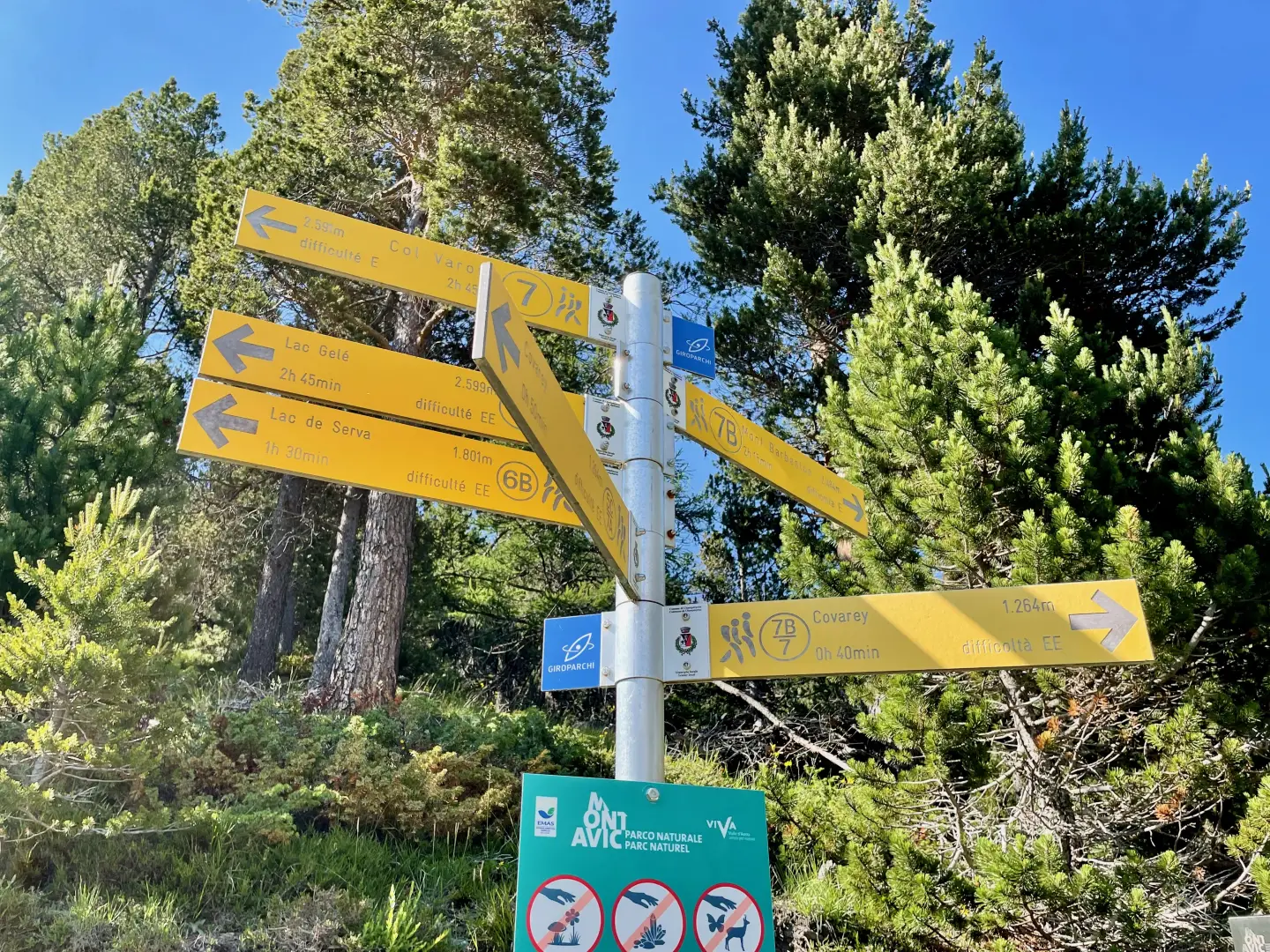
0h00'0.00km Leave the car park by following the tarmac road back to the signpost at the crossroads.
0h02'0.12km
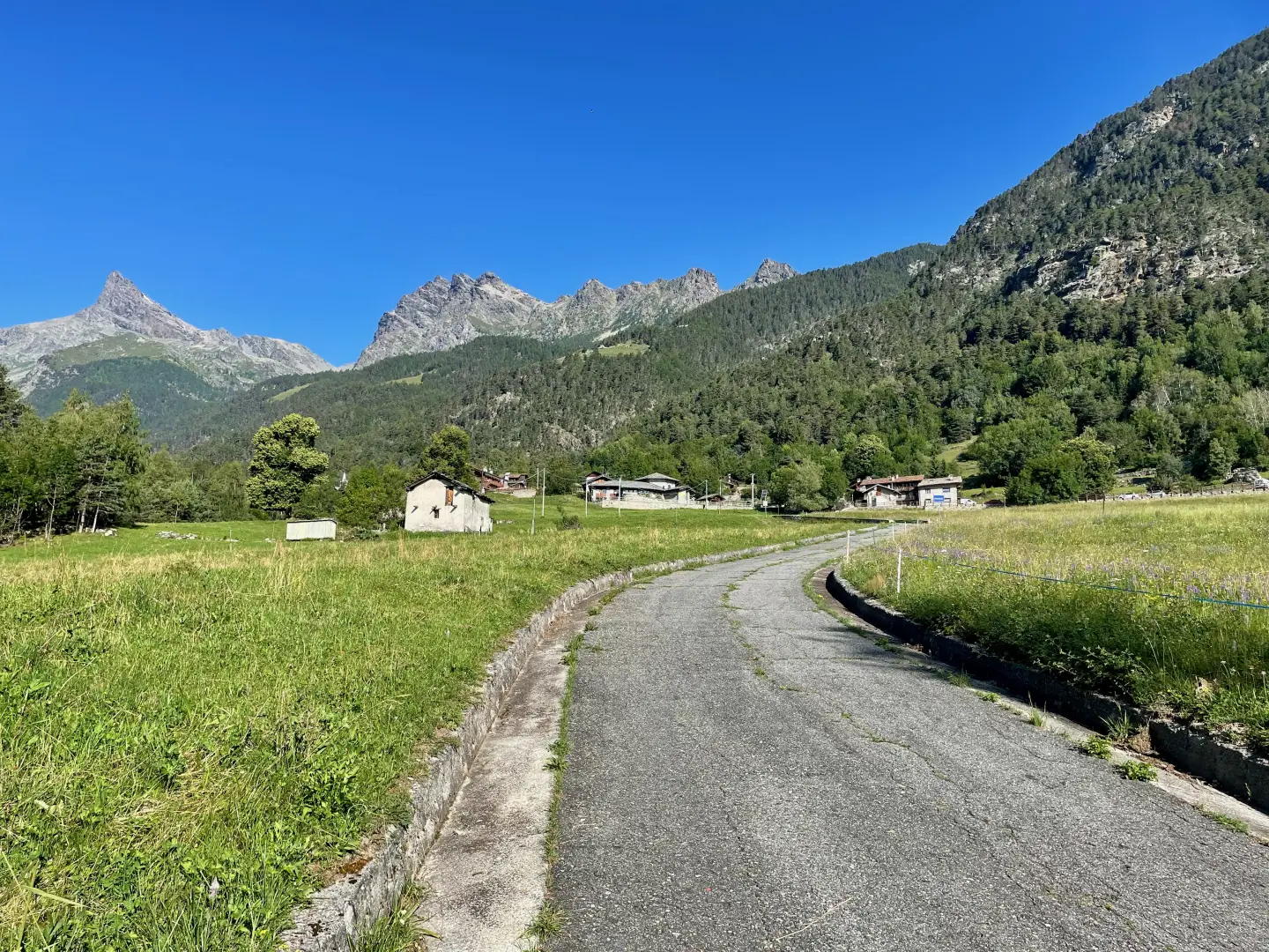
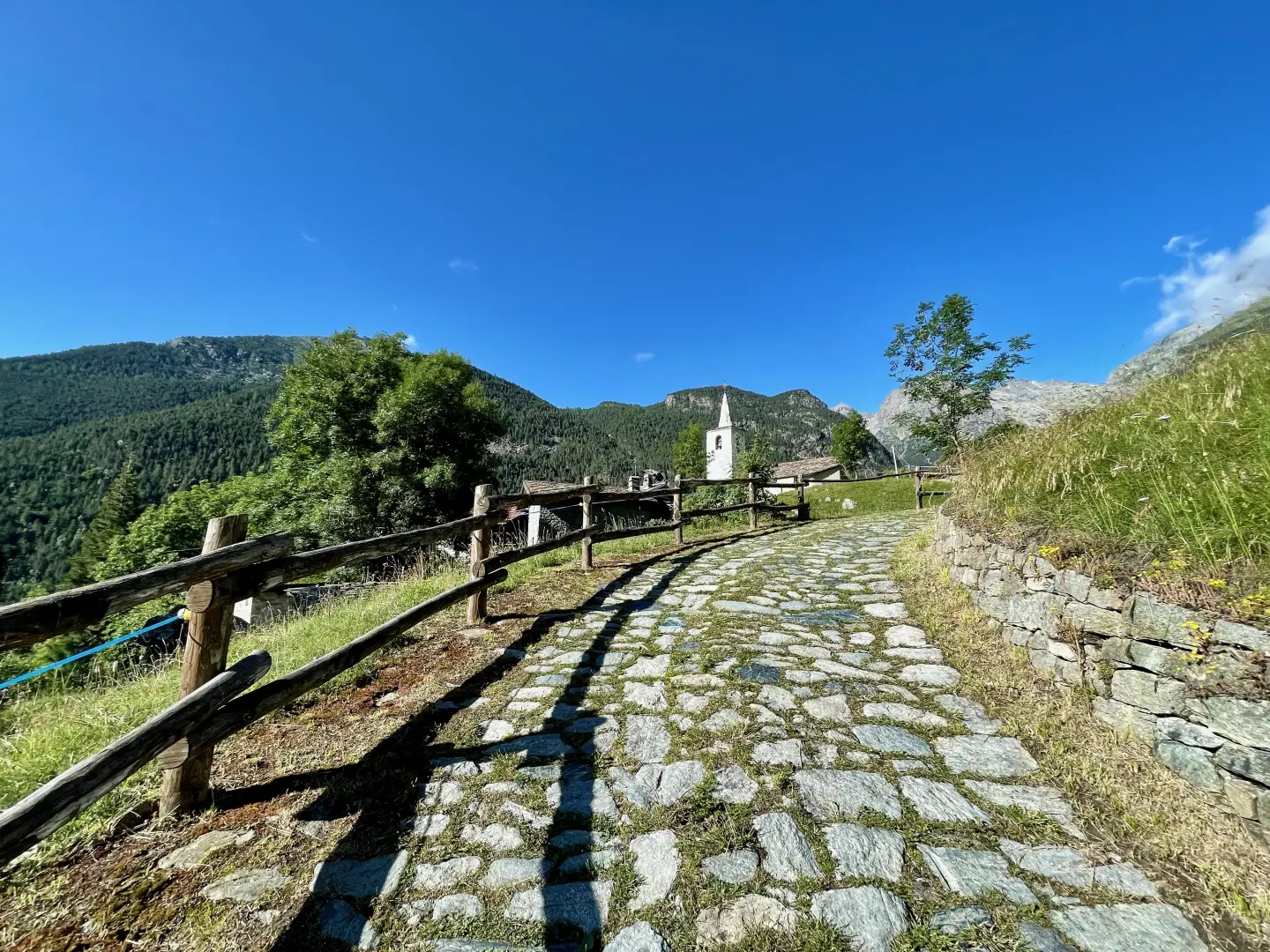
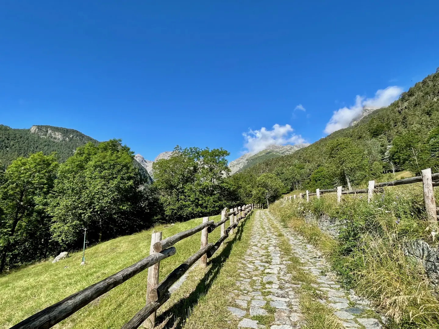
Turn left and go up the small asphalt road that crosses the open pastures of the Blanchet locality. Continue along the steady ascent, where the tarmac gives way to a paved road, until you reach the first houses of the village of Covarey.
0h10'0.39km
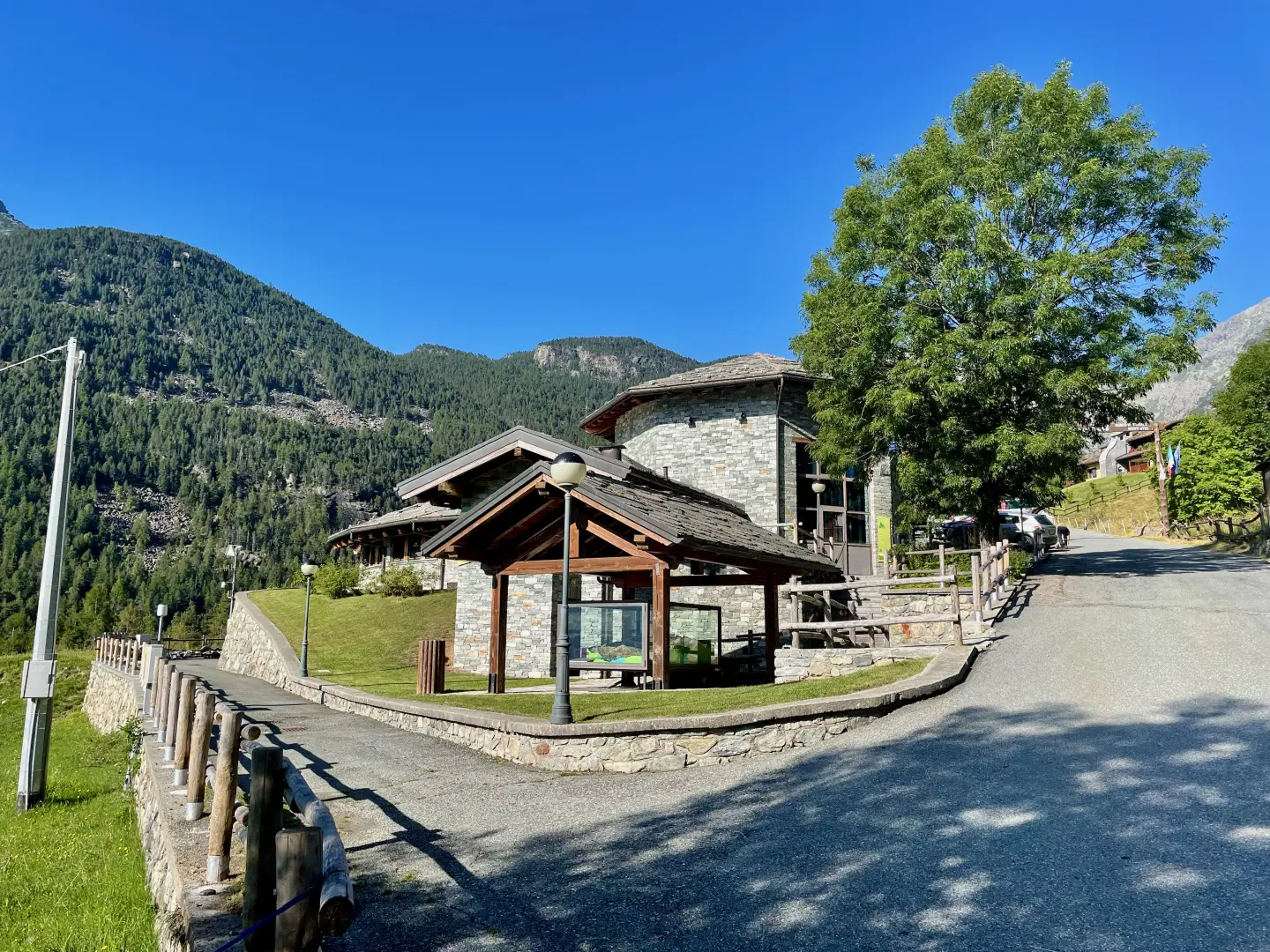
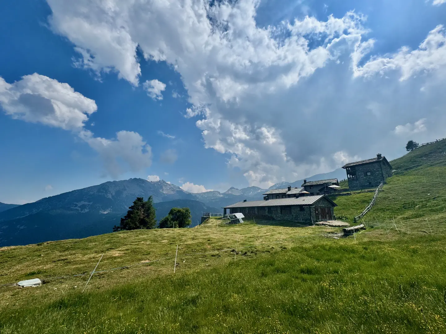
Turn left again along the tarmac road. Pass a fountain 💧on the right and drive past the Mont Avic Nature Park Visitor Centre, recognisable by its wood and stone structure. Continue without any detours as far as the car park in the hamlet of La Ville (Veulla).
0h20'0.67km
Follow the agricultural track, leaving the chapel dedicated to the Madonna delle Nevi on the left and continue slightly uphill through the pastures. Skirt the Parc Animalier, cross the stream on a small wooden bridge, enter the forest and make two sharp turns (first to the left, then to the right) to a new marker.
0h35'1.28km
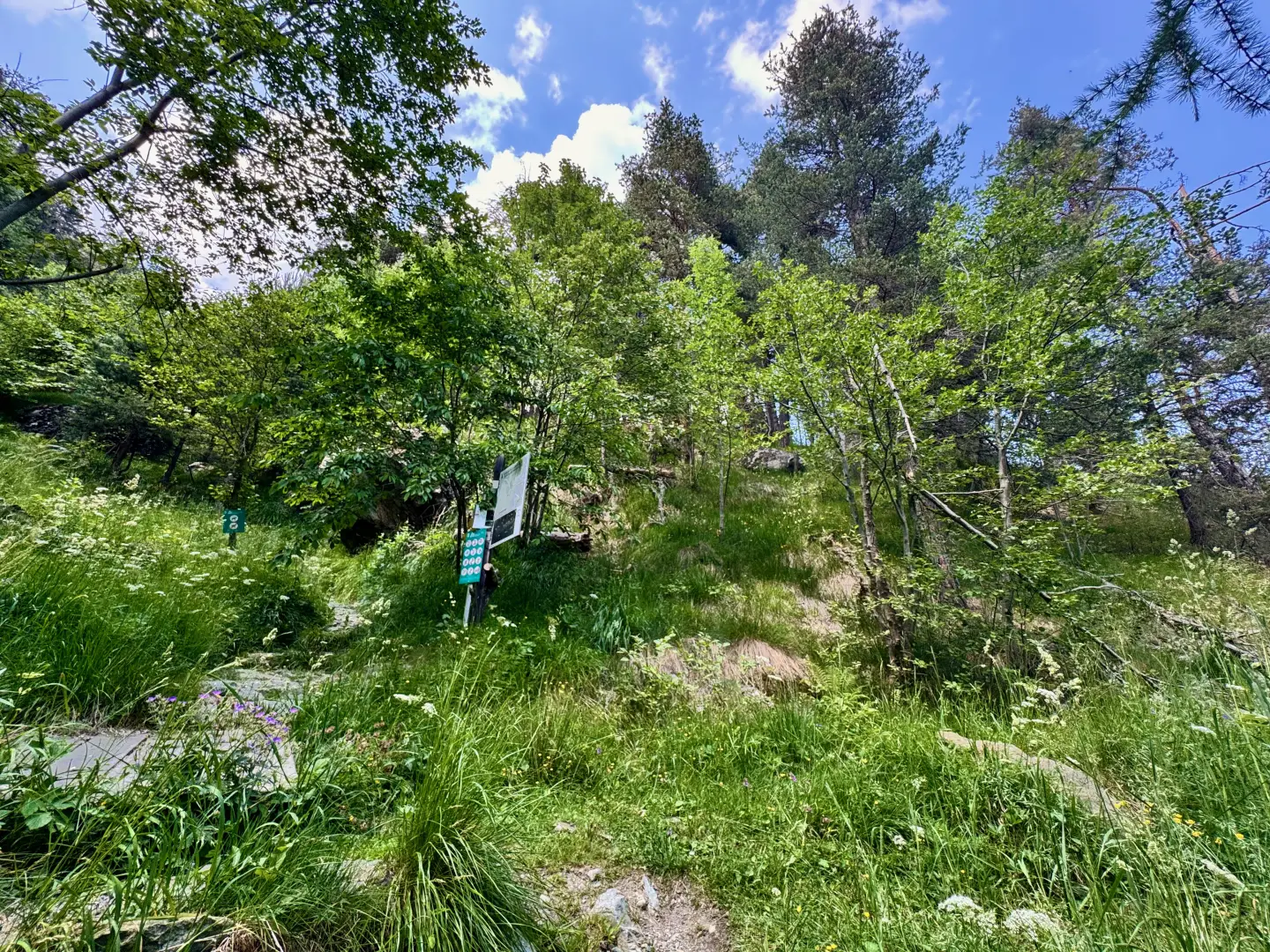
Turn right, taking an easy path that immediately enters the wood, which is composed mainly of Scots pine (Pinus sylvestris). The path, which is steep at first, quickly gains height until it crosses the level path that runs alongside the ancient Ru Chevrère, which marks the boundary of the park.
01h00'1.74km
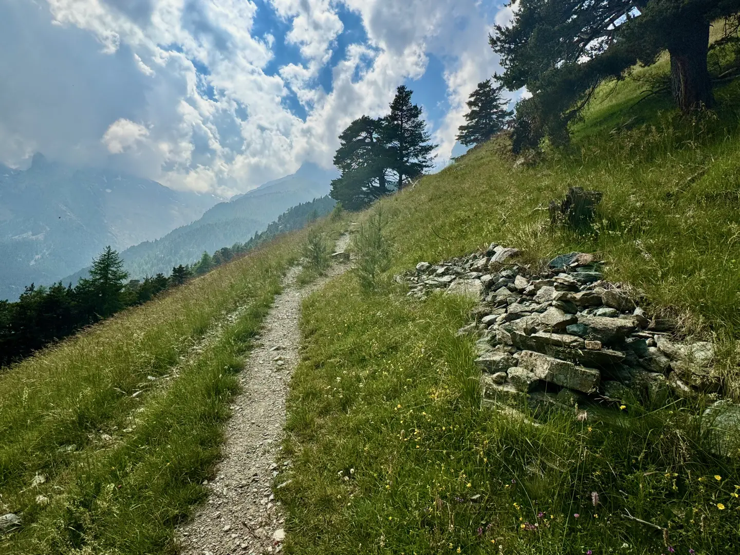
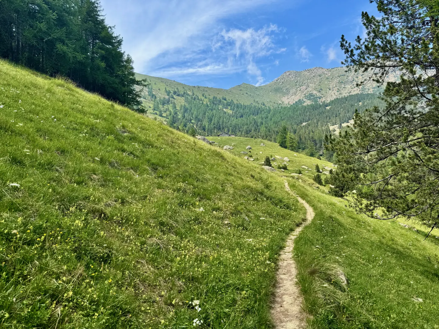
Continue straight on, then turn left up the forest along a long diagonal ascending path with a moderate gradient. After crossing a stream, the path makes a few turns before coming out onto a short clearing, from which there are panoramic views of the park's peaks. It briefly re-enters the wood before reaching a marker post (1510m).
1h45'2.71km
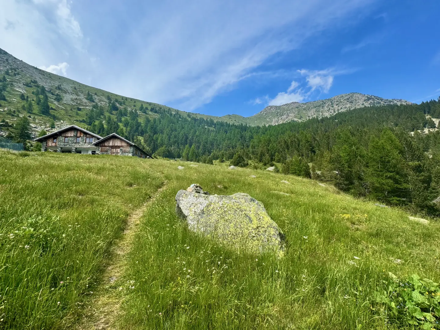
Ignore the turnoff for the nearby Pra Oursié pasture (1794m) and turn sharply right along a path that is initially flat and then begins to climb again. With a pleasant diagonal path through the forest of Scots pine and hooked pine (Pinus mugo subsp. uncinata), an endemic species of the park, climb the slope until reaching the pastures of Plan Château (2006m).
2h30'3.98km
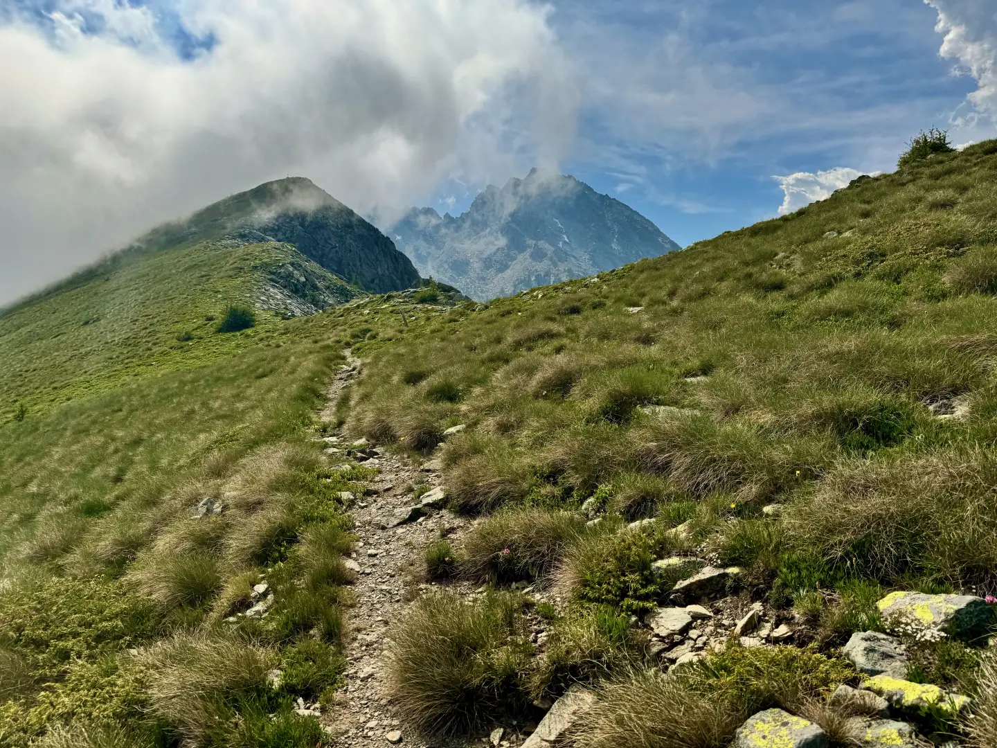
Leaving the alpine pasture on the left, the ascent towards the pass begins. The path winds its way in a series of hairpin bends through the forest, which gradually thins out to leave room for patches of rhododendron (Rhododendron ferrugineum L.) and alpine grassland. Approaching the final destination, we continue along a long diagonal slope ascending to the left, until we reach the wide saddle of Col de Valmeriana (2290m), from where there is a splendid panorama of the entire park area.
3h30'5.31km
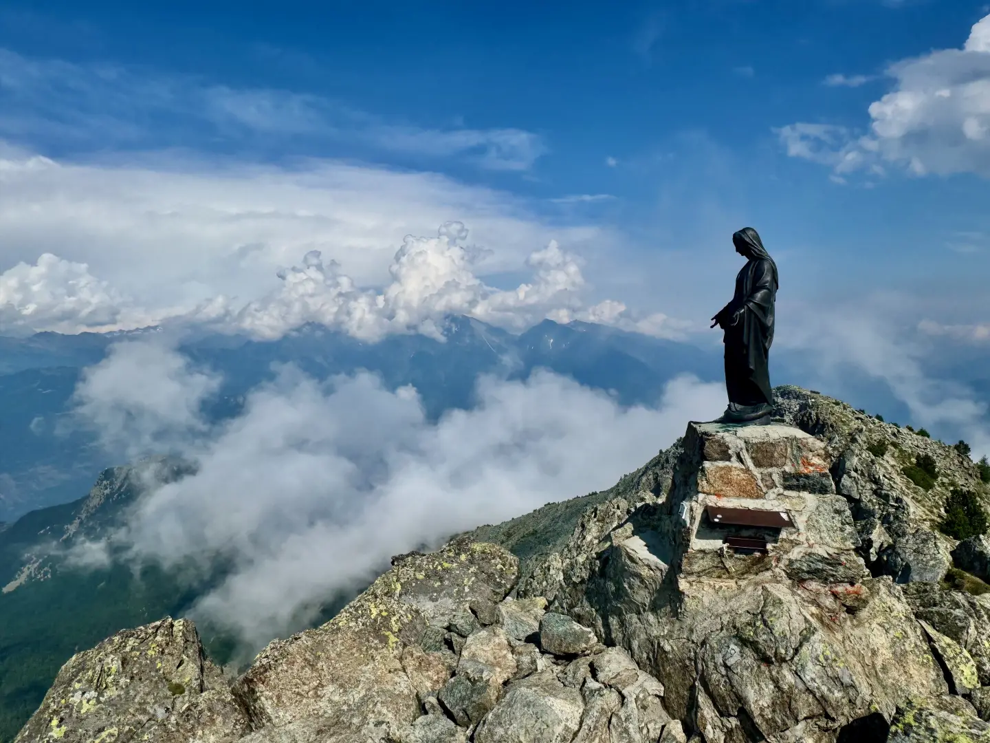
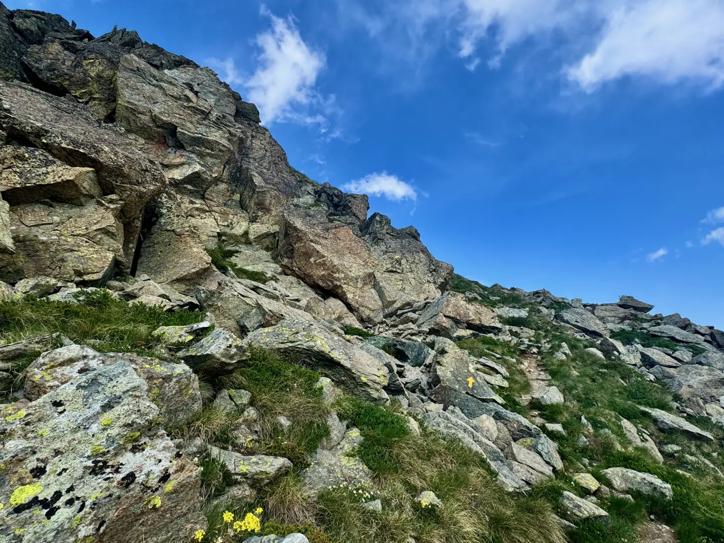
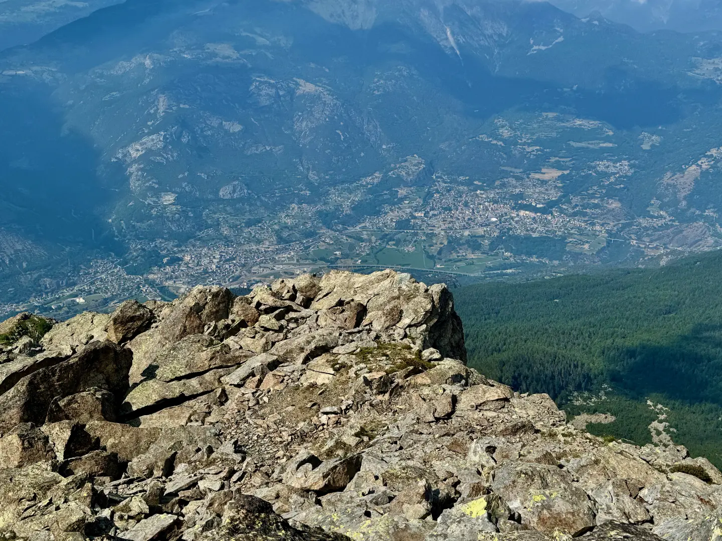
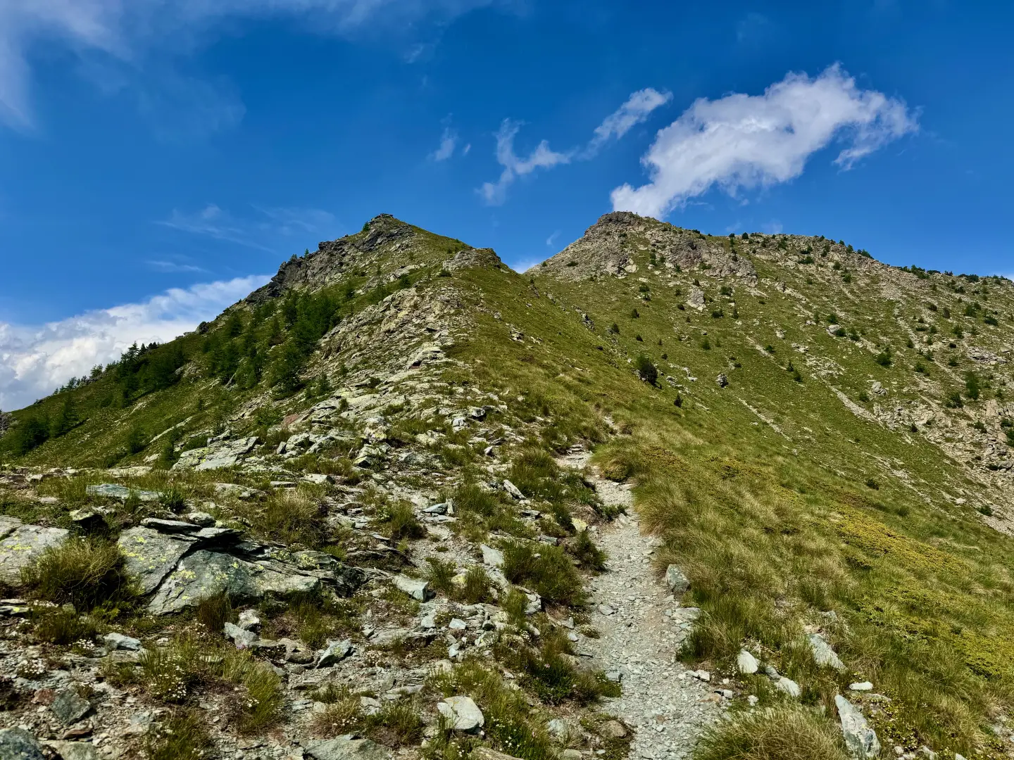
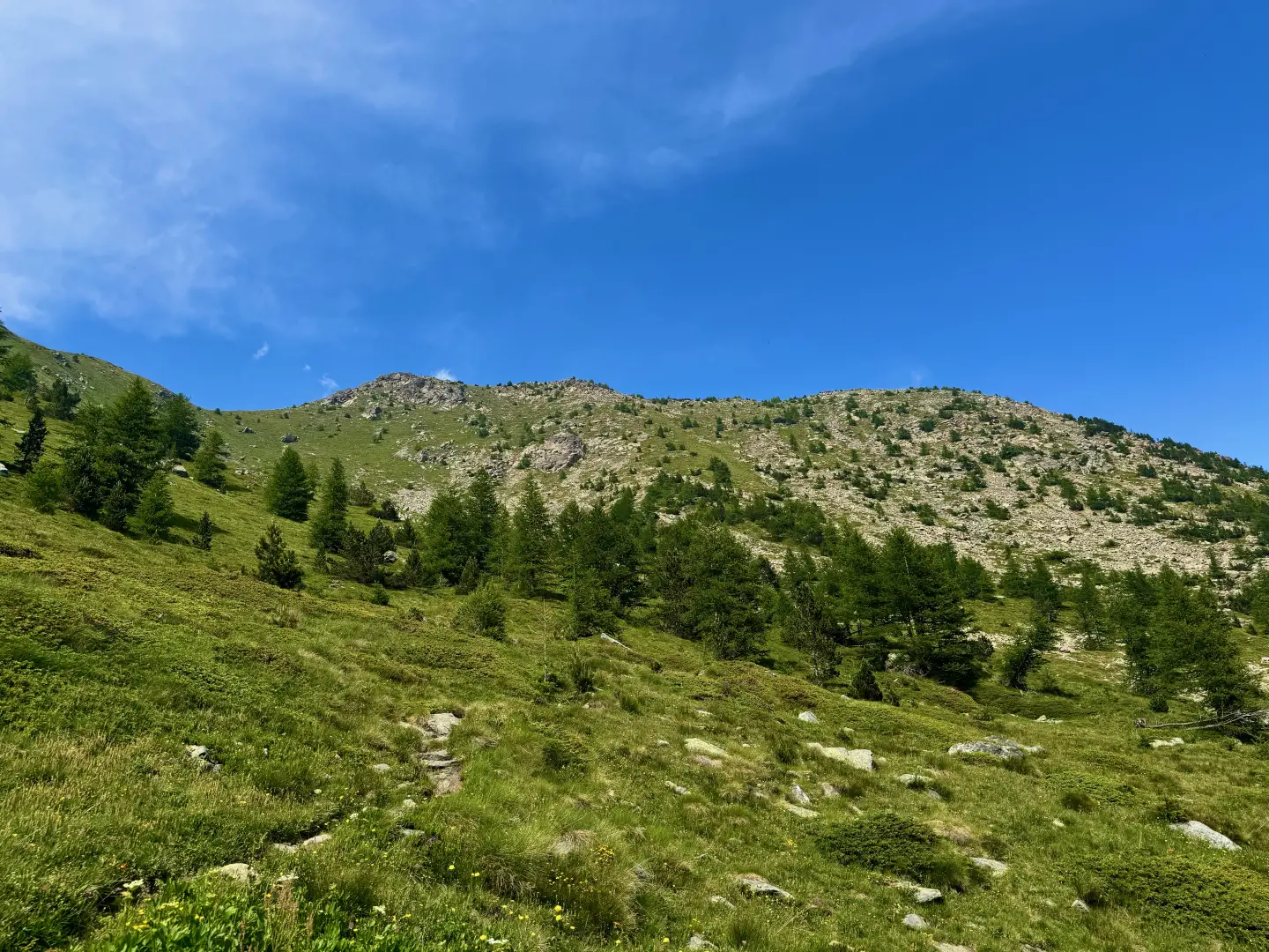
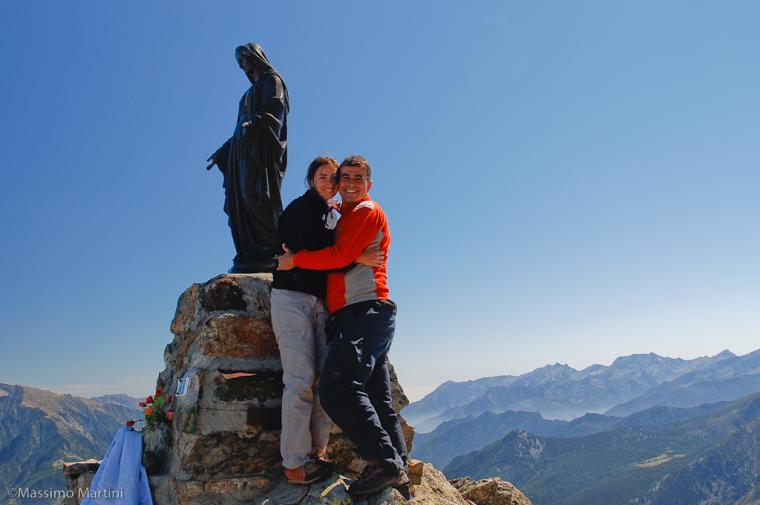
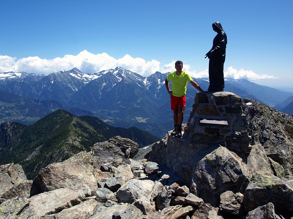
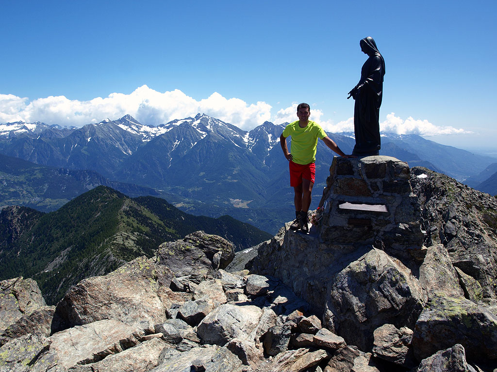
Continue to the right along the path that initially follows the ridge line, then ascends the mountain ridge keeping to the left, along the side of the central valley. Once over the ridge, a saddle is reached, from where the final ascent begins. The final path, although it crosses stretches of broken rocks, remains well marked and leads to the summit of Mont Barbeston (2492m) 4h00'6.15km .
The return follows the same route as the outward journey, retracing the path until returning to the starting point at the Blanchet car park 2h15'6.15km .
Da tempo puntavo a questa montagna, facile da salire ma estremamente panoramica, e non ha deluso. Sentiero che sale bello diretto già dall'inizio, il che permette di salire rapidamente di quota. Arrivato in vetta alle 11, un paio di escursionisti mi hanno raggiunto ma sono poi subito scesi, così me la sono potuta godere in solitaria. Panorama davvero spaziale, visibili tutti i 4000 ad eccezione del Granpa. Ho iniziato la discesa quando le prime nubi del peggioramento previsto hanno iniziato ad affacciarsi.
Condizioni via o sentiero: ottimo, privo di neve Pericolo Oggettivo: Tratti esposti: Rischio valanghe: Affollamento: Poca gente



Comments (0)
Sign in to leave a comment