Federigo Zullo bivouac, from Pila


Edited by:
Massimo Martini
Updated at: 31/01/2026
Access
Lasciare lo svincolo autostradale di Aosta Est e svoltare a destra seguendo le indicazioni per Aosta centro. Proseguire per circa 4 chilometri e, giunti ad Aosta, svoltare a destra seguendo le indicazioni per Pila. Continuare per 6,9 chilometri fino a raggiungere la località Pont-Suaz, quindi prendere la seconda uscita e imboccare la strada regionale . Risalire la regionale superando l’abitato di Charvensod e, dopo 16,9 chilometri, si raggiunge Pila, dove è presente un ampio parcheggio gratuito (🅿️). Nei pressi della scala di accesso alla cabinovia è disponibile un fontanile (💧).
Accesso con mezzi pubblici
La località di Pila è raggiungibile con mezzi pubblici tramite cabinovia da Aosta, con collegamenti regolari e frequenti durante tutto l’anno. Non sono invece presenti collegamenti autobus diretti e regolari fino al parcheggio frazionale di Pila; per raggiungere il punto di partenza dell’itinerario è quindi necessario prevedere un trasferimento finale a piedi oppure l’utilizzo di un mezzo privato.
Distanza e tempo di percorrenza
🕒 Tempo di percorrenza: 37 minuti
📏 Distanza: 24 km
Navigazione GPS
📍 Come arrivare con Google Maps
📍 Come arrivare con Apple Maps
ℹ️ Nota importante
Le indicazioni fornite sono state verificate alla data del rilievo dell’itinerario. Prima della partenza, è consigliabile verificare eventuali variazioni del percorso. Per ottenere indicazioni aggiornate e dettagliate, si consiglia l’uso di Google Maps o Apple Maps.
Introduction
Beautiful but strenuous hike to Col Carrel, a depression between the two imposing symbols of Aosta: Becca di Nona and Mont Emilius. The recent ferrata on the west ridge of Mont Emilius makes it an important base for this route.
Description
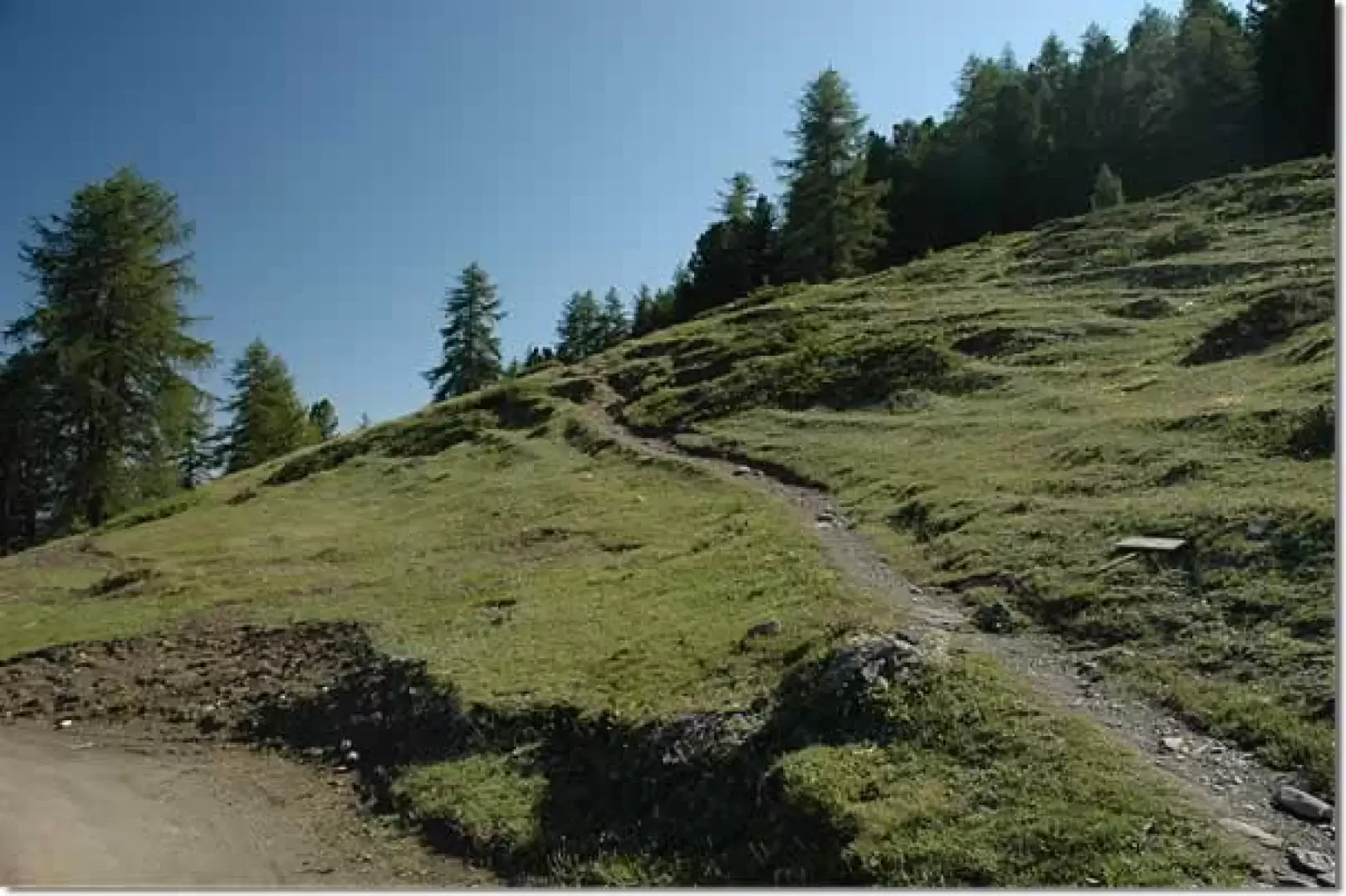
Leaving the car park, go up the metal steps leading to the arrival point of the gondola lift and, after crossing the little meadow in front of it, take a small road, turning right. After a few metres, ignore the road to the left that leads to the hermitage of San Grato, and shortly afterwards you will come across a temporary signpost indicating to turn left in the direction of the Chamolé mountain pasture. We climb up a dirt track that in a few minutes leads first to an alpine pasture and after a few metres ends at a signpost indicating Alpe Chamolé, signpost (19A) (1851m, 0h10').
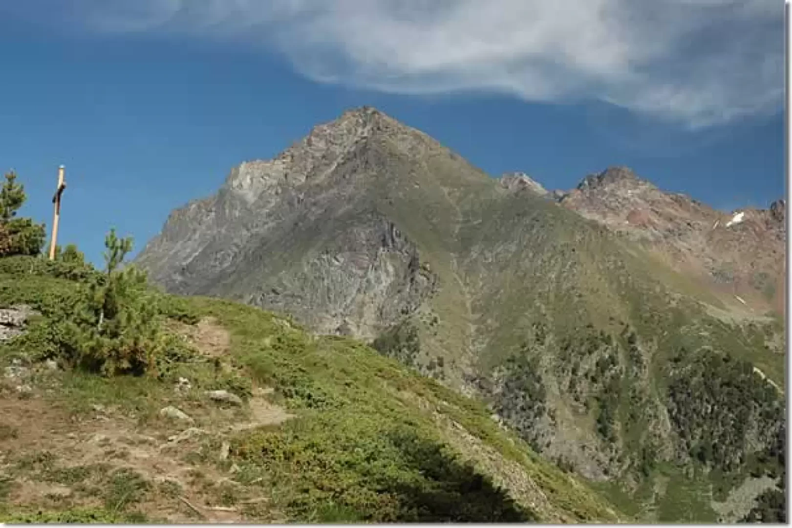
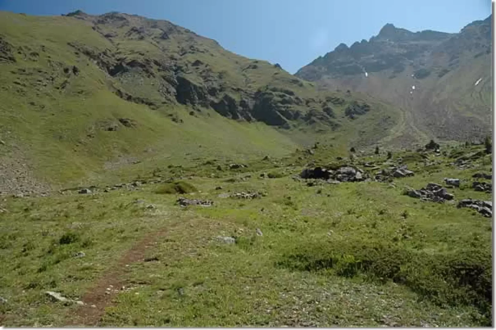
The path climbs up a deforested strip among the fir trees, populated by rowan and alder, to an altitude of about 2000m, where the deforested section becomes wider and leaves room for a little grassland. We soon reach a wider path (2062m, 0h30') and turn left up a beautiful trail that quickly crosses the forest and leads into the beautiful pastureland clearing below the Chamolé alpine pasture. In a wide semicircle to the left, the path passes above a ruin and finally reaches the Chamolé alpine pasture (2154m, 0h50'): from here, the view is already exemplary, with Mont Blanc looming in the distance and in front of us, the view of the Fallère group and the Grand Combin is unmissable... especially in the early dawn. especially in its early days.
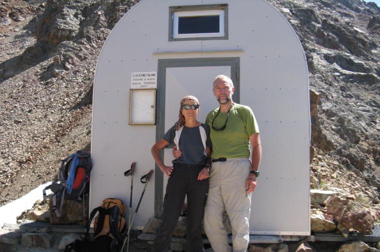
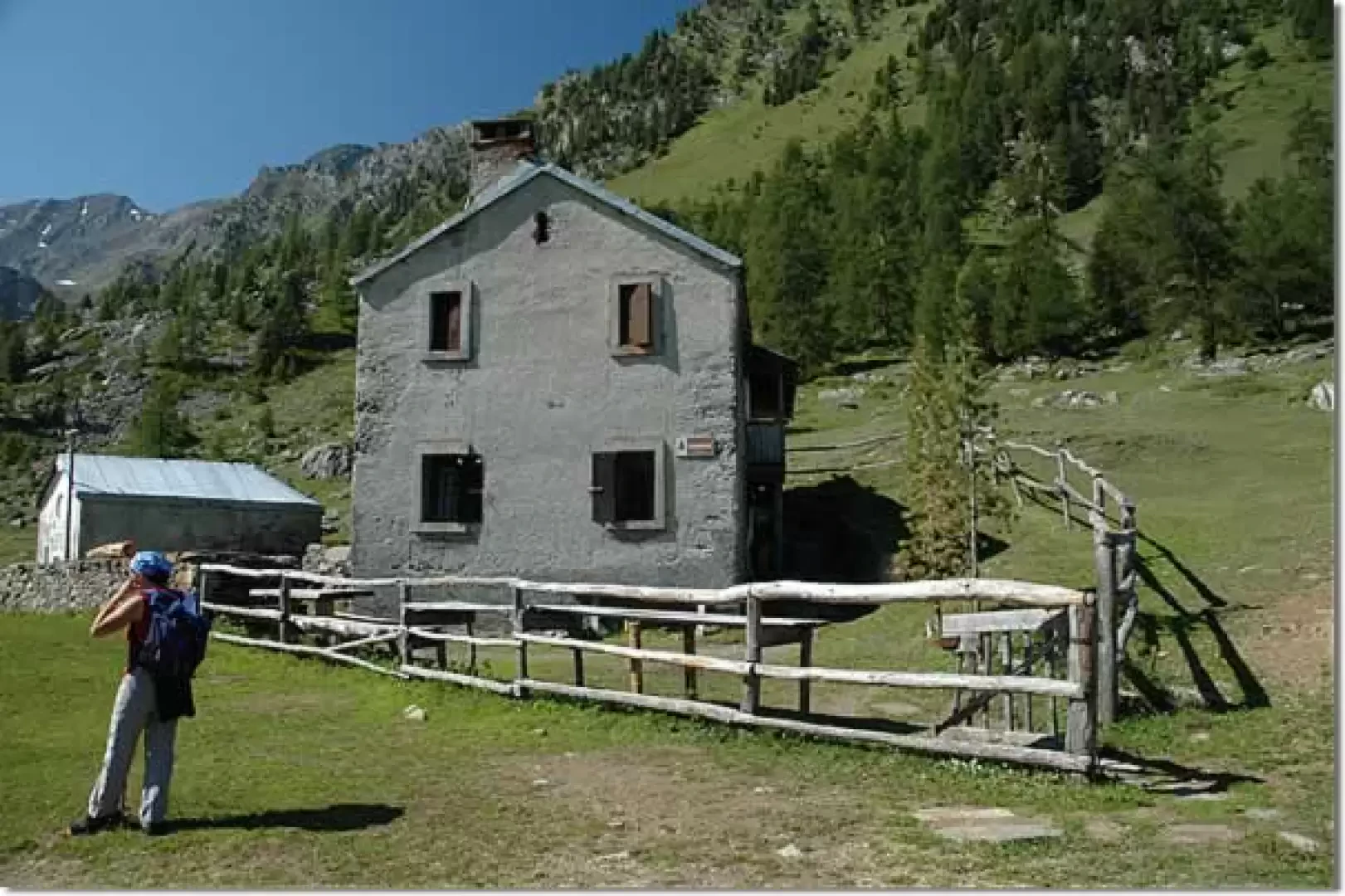
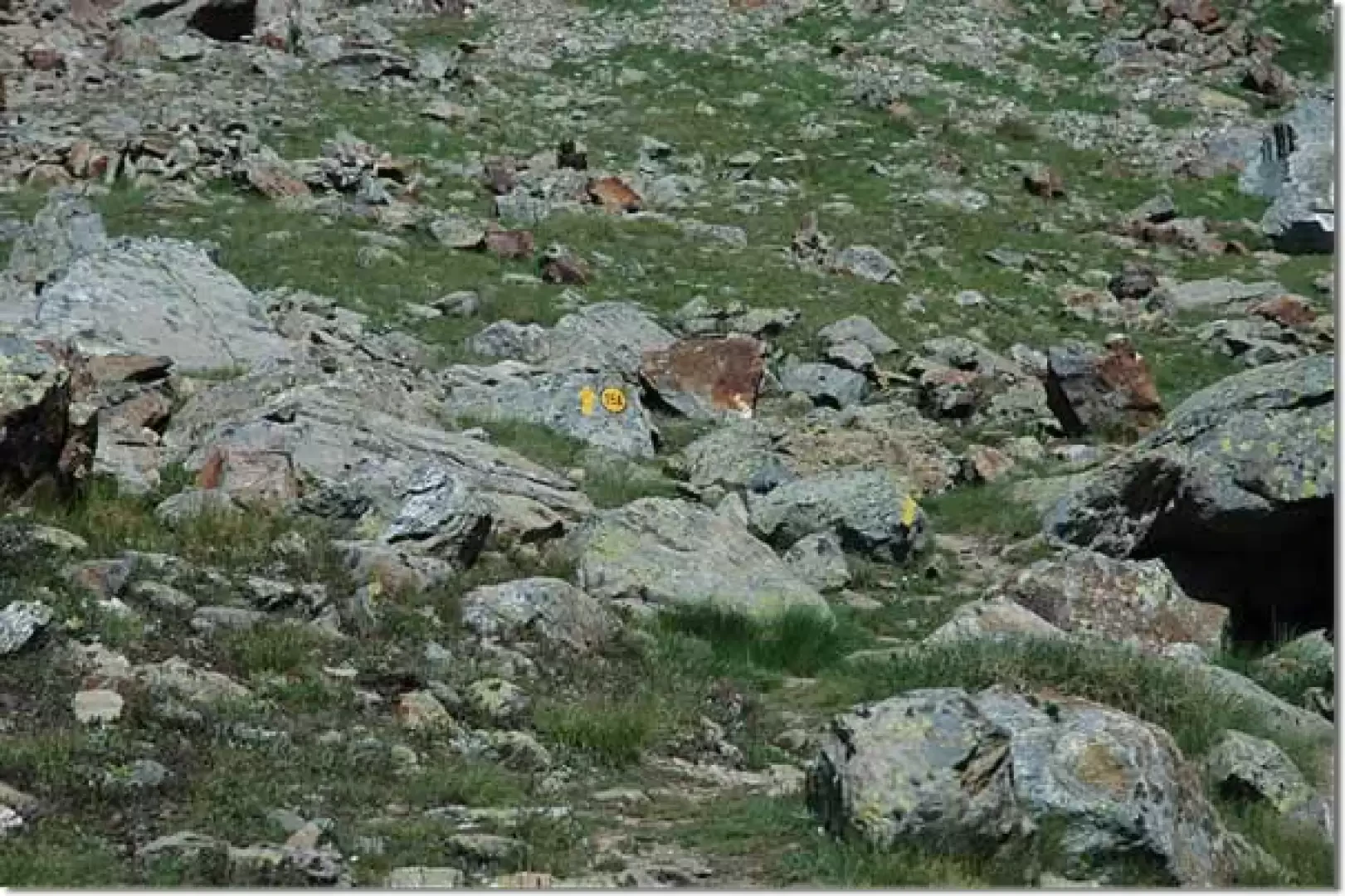
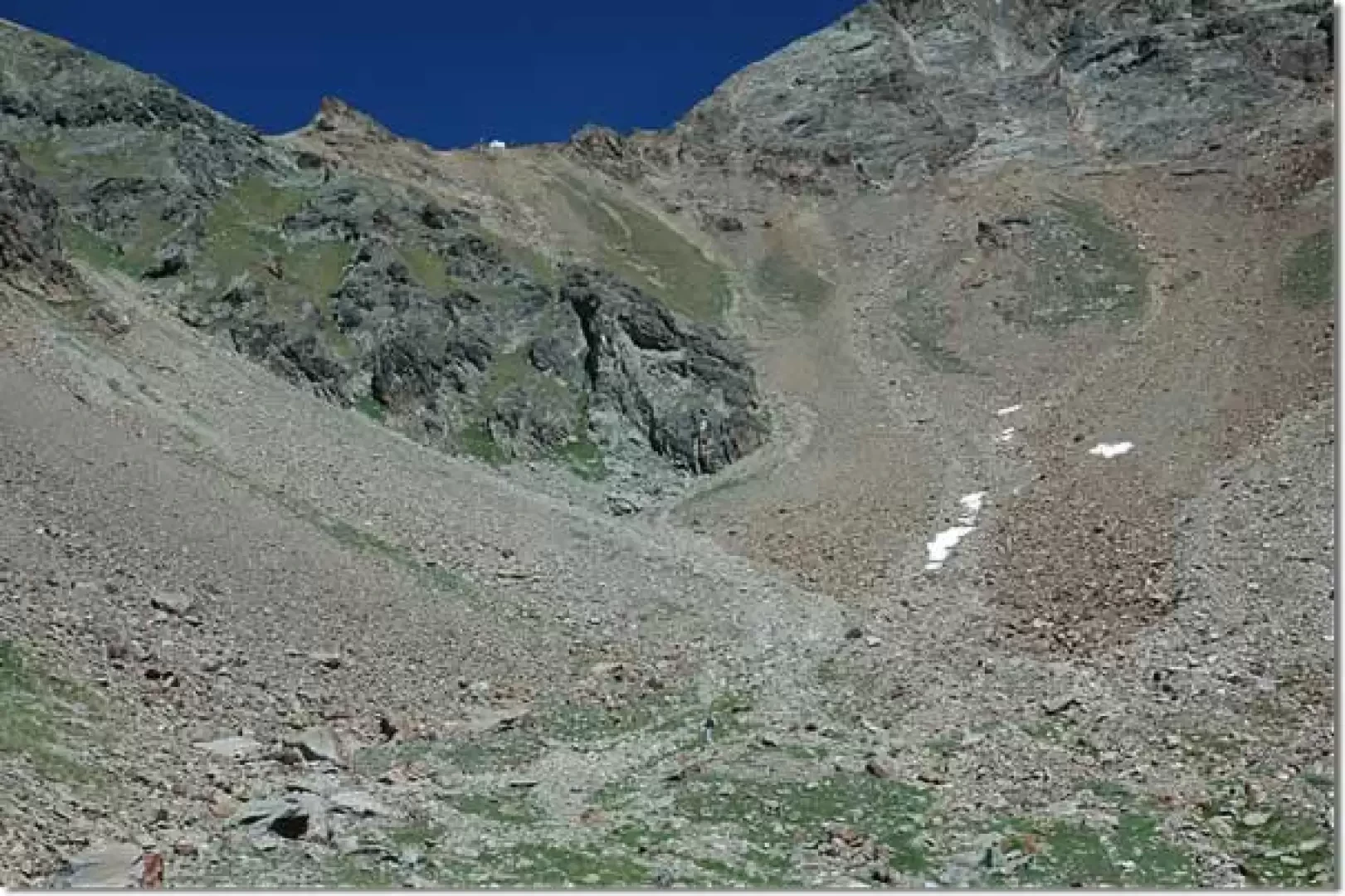
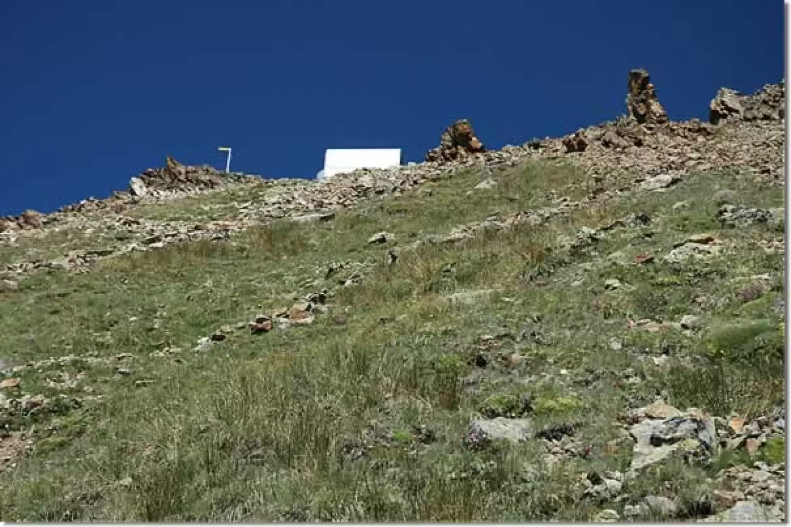
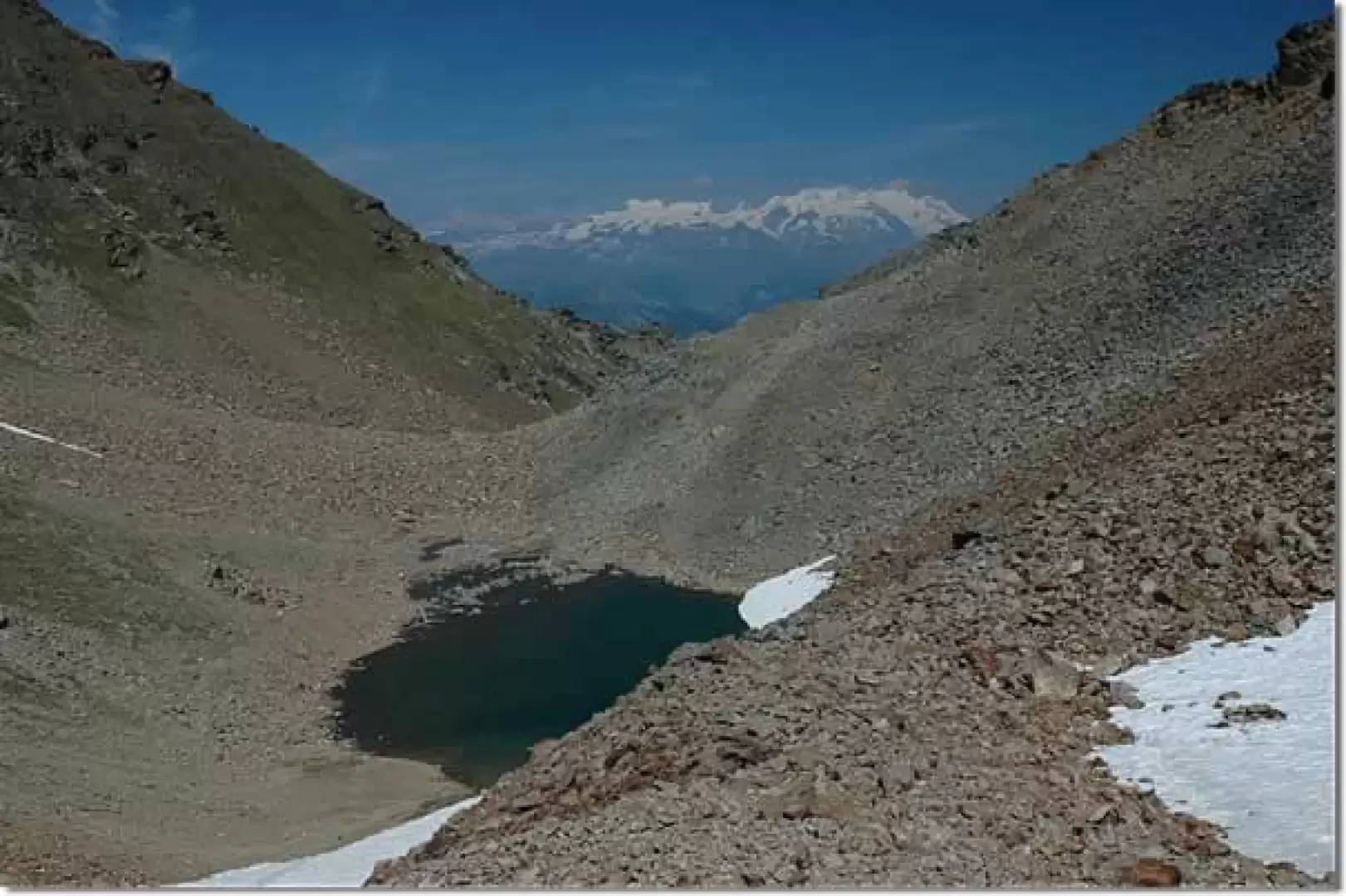
We pass the alpine pasture buildings and continue eastwards, towards Col Fenêtre and, after a stretch of the dirt road coming from the Hermitage of San Grato, we take a little path (20a) that, with a few ups and downs, enters a beautiful fir forest and in about twenty minutes (20) we reach Col Fenêtre (2221m, 1h15'). After calmly admiring the panorama, which sweeps from Mont Blanc to Monte Rosa, with the town of Aosta at our feet, we set off towards the Comboé valley, descending the western slope of the Col Replan ridge to the Comboé alpine pastures (2125m, 1h30'). Past the Comboé pastures, continue for a few hundred metres in a southerly direction, skirting the small lake. You soon see a small wooden bridge on the left, which you must cross: this is the start of the path (16), which immediately takes on a decidedly steep aspect. Care must be taken to keep your strength up. The path becomes a little easier when you reach Plan Valé (2378m, 2h00'). Here you will get a complete picture of the possible itineraries: on the left the cone of the Becca di Nona, at the bottom of the valley the Col Carrel on which stands the Federigo Zullo bivouac. The path climbs in wide serpentines along the cone of the Becca. You reach the vicinity of a large boulder where the path splits (2635m, 3h00'): you ignore the normal ascent to Becca di Nona and start to climb the slopes of the col by climbing up the little path (16A) that branches off to the right. One ascends a stony environment with the path circumventing a rocky promontory to the left. Just above, we reach a meadowy spot that will accompany us until just below our destination: the bivouac is now evident and the sheet metal glows in the sun. Just a little more effort and, after a stretch of scree, we finally reach the Federico - Zullo bivouac (2987m, 4h00').
The view from up here is splendid, and the little lake below the bivouac is beautiful, although it is advisable to continue on to the [[Becca di Nona]] (3142m, 4h30') to appreciate it to the end.
The return journey follows the same route as the outward journey.
Galleria fotografica
We have been there

Edited by:
Ermanno Panara
Bivacco Federigo-Zullo
raggiunto dopo la salita alla Becca di Nona, come variante per la discesa. 25 minuti dalla vetta. Sentiero ripidissimo ma sicuro. Punto di partenza per l'impegnativa ferrata al Monte Emilius (che pare agibile)